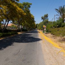
Viker Lookout
Location: מועצה אזורית עמק חפר
GPS coordinates: 32.34632,34.96565
Latest update: October 24, 2025 18:52
Olesh
2.4 km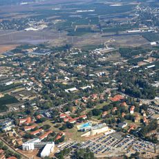
Kfar Monash
4.7 km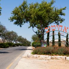
Ahituv
5.3 km
Maor
5.2 km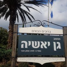
Gan Yoshiya
2.4 km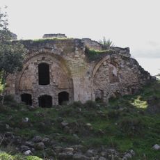
Какун (крепость)
2.2 km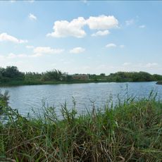
Category:Agamon Hefer
4 km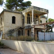
Nablusi House (Kfar Yona)
4.7 km
Caco
3.2 km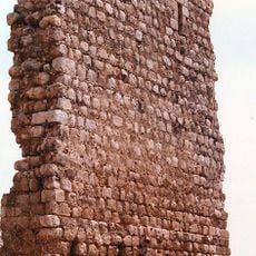
El-Bouraj
2.4 km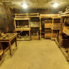
Mishmar Hasharon slik
5.8 km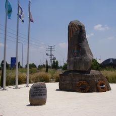
Memorial to the Fallen of the 5th Brigade (1967)
5 km
Ma'agar ha-Mizrachi
4.5 km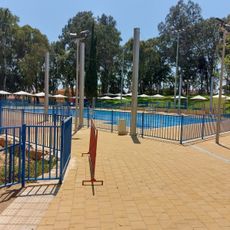
בריכת כפר יונה
4.6 km
Gan Le'ummi Mivẕar Qaqun
3.1 km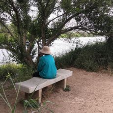
תצפית נחמדה המשקיפה על האגמון עם ספסל
4 km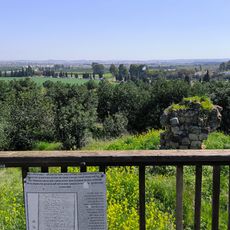
Tel Kakun Lookout
3.1 km
מפל
2.8 km
Scenic viewpoint
4.4 km
מפל
4 km
מעברת יכון
3.6 km
Waterfall
5 km
תל קאקון
3.1 km
אנדרטה לחללי הקרב על קאקון
3 km
תל אשקף
1.2 km
קבר שייח
5.5 km
קבר שיח ג׳אמל א־דין
5.6 km
Scenic viewpoint
434 mReviews
Visited this place? Tap the stars to rate it and share your experience / photos with the community! Try now! You can cancel it anytime.
Discover hidden gems everywhere you go!
From secret cafés to breathtaking viewpoints, skip the crowded tourist spots and find places that match your style. Our app makes it easy with voice search, smart filtering, route optimization, and insider tips from travelers worldwide. Download now for the complete mobile experience.

A unique approach to discovering new places❞
— Le Figaro
All the places worth exploring❞
— France Info
A tailor-made excursion in just a few clicks❞
— 20 Minutes