
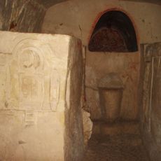
נקודת תצפית לעמק, במקום שני קברים כנראה של ראשוני שער העמקים
Location: מועצה אזורית עמק יזרעאל
GPS coordinates: 32.69582,35.11979
Latest update: November 13, 2025 02:12
Beit She'arim National Park
1.3 km
Muhraqa
3.9 km
Kfar Yehoshua
3.5 km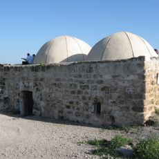
Sheikh Bureik, Lajjun
1 km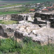
Tel Yokneam
3.7 km
Tell Kashish
1.5 km
Kishon – The Valleys Park
3.8 km
מוזיאון בית חנקין
3.5 km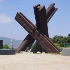
אנדרטת יד לבנים לחללי קריית טבעון
1.9 km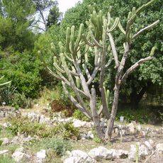
Botanical garden, Oranim
2.2 km
בית הכנסת שדה יעקב
2 km
Hourvat-Douba
3.7 km
Kiryat Tiv'on municipal library
1.9 km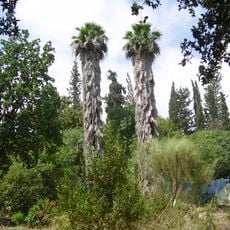
Jardín Botánico de Oranim
2.1 km
In Memory of the Sons
3.2 km
מצפה שרון
2.8 km
Barak lookout
1.7 km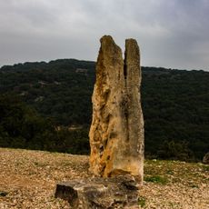
Tayeset HaEmek viewpoint
3.3 km
H̱orbat Bet She‘arim
1 km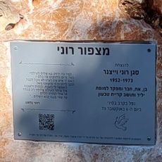
מצפה רוני
2 km
ואדי עלי א-דין
2.6 km
תחנת רכבת משוחזרת אלרואי
2.2 km
Scenic viewpoint
3.9 km
חורבת קוסקוס
3.7 km
אתר הנצחה לחללי קרית טבעון
1.9 km
Memorial
3.1 km
בזיליקה
947 m
מצודת הבמה
2.4 kmReviews
Visited this place? Tap the stars to rate it and share your experience / photos with the community! Try now! You can cancel it anytime.
Discover hidden gems everywhere you go!
From secret cafés to breathtaking viewpoints, skip the crowded tourist spots and find places that match your style. Our app makes it easy with voice search, smart filtering, route optimization, and insider tips from travelers worldwide. Download now for the complete mobile experience.

A unique approach to discovering new places❞
— Le Figaro
All the places worth exploring❞
— France Info
A tailor-made excursion in just a few clicks❞
— 20 Minutes