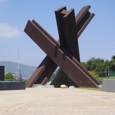
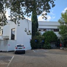
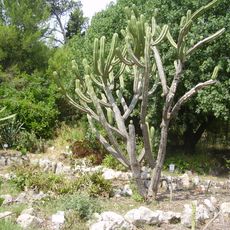
Tell Kashish, Archaeological site in Northern District, Israel
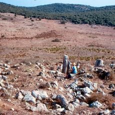
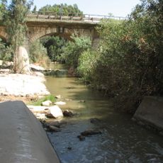
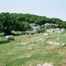
Tell Kashish is an elongated mound on the north bank of the Kishon River, where the stream's bend bounds its southern and western sides. Its base measures 270 by 160 metres and covers 10.7 acres; the western half stands about 5 metres higher than the eastern half. All sides are steep except the northeast, where the approach road probably ran.
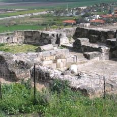
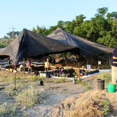
Tel Qashish was first settled in the Early Bronze Age I (3300–3000 BCE), and unlike other Jezreel Valley sites it stayed populated into Early Bronze Age II, when a 2–2.5 m thick wall and a 1.5 m lane along it were built. After a gap in the Intermediate Bronze Age, occupation resumed around 1750 BCE with a planned, walled town; the Late Bronze Age settlement was destroyed by fire in the 14th century BCE and again at the end of the period. Eight excavation seasons led by Amnon Ben-Tor ran from 1978 to 1987.
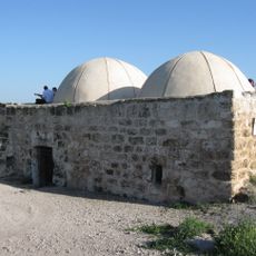
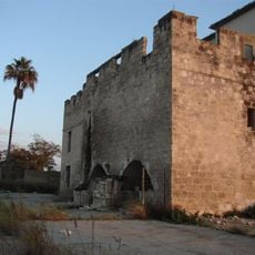
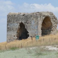
The Arabic name Tell el-Qassis means "Hill of the Priests," possibly linked to Elijah's killing of the prophets of Baal. The mound's identification with biblical Helkath, proposed by Yohanan Aharoni, gave the nearby Kiryat Haroshet its name. Visitors can also see a British pillbox built on the summit during the 1936–1939 events.
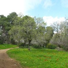
The site is reached by road in the Northern District and a vehicle makes access easier given the rural setting. The ground is uneven across the mound, so sturdy footwear helps when walking between the higher western and lower eastern sections.
The word "tell" in the name refers to a type of mound formed entirely by human activity, not by geology or erosion. Each layer underfoot is the collapsed remains of a building that once stood there, making the ground itself a kind of vertical record of the people who lived on this spot.
The community of curious travelers
AroundUs brings together thousands of curated places, local tips, and hidden gems, enriched daily by 92,643 contributors worldwide.