Enable Location

We need your location to show you interesting places around you

Discover nearby places

Find interesting locations and hidden gems around you

Precise directions

Get accurate directions and distances to places

Your location is never shared with other users. It's only used when you tap the location button.

Nahalal

Log in to your account

Start exploring — it's free

Trusted by 62,059 travelers worldwide

Continue with Google
Continue with Apple
or

We will send you a code to connect

By continuing, you accept our Terms and Conditions and our Privacy Policy

Check your inbox

We've sent a pincode in your inbox. Please enter the code below.

Nahalal

Nahalal, Agricultural heritage site in Jezreel Valley, Israel

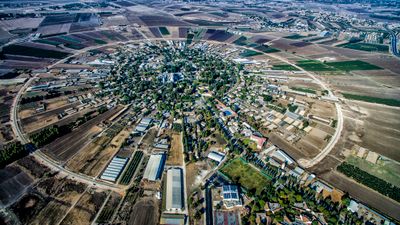
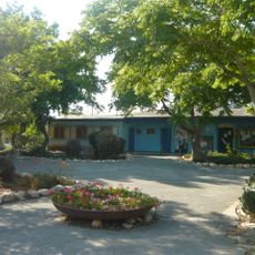
Nahalal is a cooperative farming village in northern Israel whose residential homes and farms are laid out according to a concentric plan. The central zone contains public buildings and community facilities, while the agricultural plots extend outward in rings and allocate a cultivated area to each household.

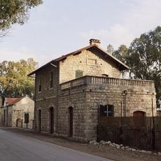
The settlement was founded in 1921 by pioneers from the Second Aliyah who tested a new model of agricultural cooperation without collective ownership. This model became the blueprint for many other moshavim established across Palestine and later Israel in the following decades.

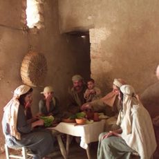
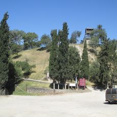
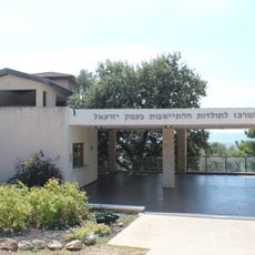
The Hebrew name comes from the biblical tribal territory of Zebulun and connects the village with the historical region of Galilee. Today, the agricultural identity is maintained through workshops and training programs that offer visitors insight into life on a cooperative farm.

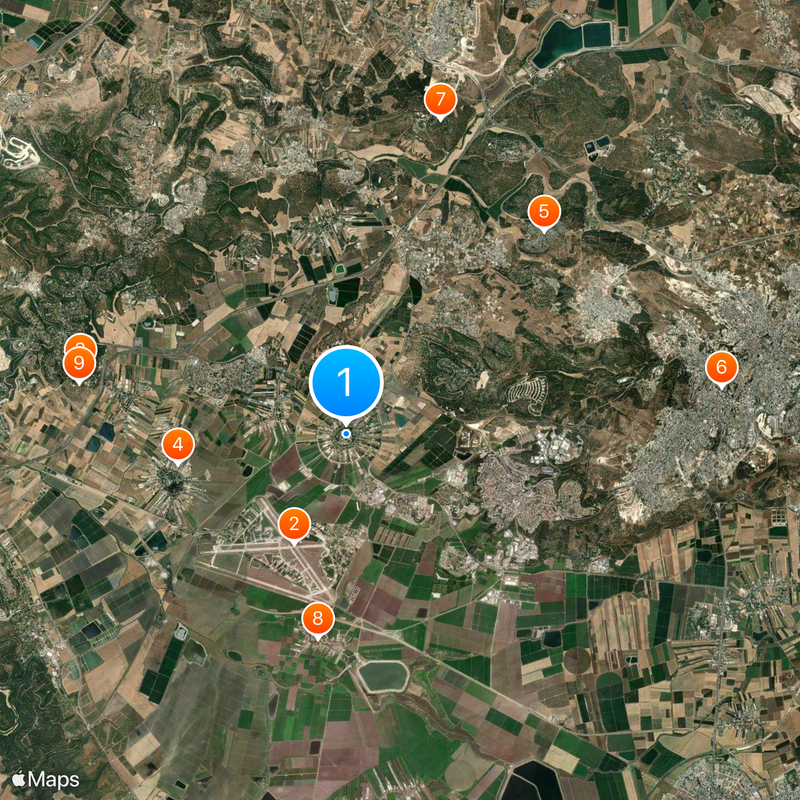
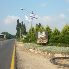
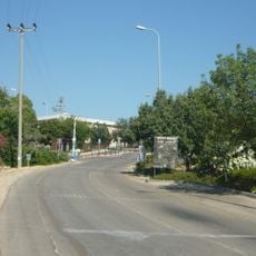
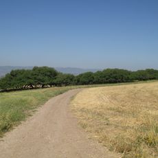
The village sits at the intersection of several rural roads in the Jezreel Valley that can be reached from Haifa and other northern Israeli cities. Visitors can move freely in the outer areas but should note that the plots are inhabited and actively farmed.

The circular layout was designed by German-Jewish architect Richard Kauffmann and reflects the desire to ensure equality among settler families through identical plots. Viewed from the air, the geometric form remains clearly visible today and shows the symmetry of the original plan.

The community of curious travelers

AroundUs brings together thousands of curated places, local tips, and hidden gems, enriched daily by 60,000 contributors worldwide.

Start exploring
Inception
1921
Elevation above the sea
91 m
GPS coordinates
32.69000,35.19667
Latest update
December 20, 2025 15:49
« Nahalal - Agricultural heritage site in Jezreel Valley, Israel » is provided by Around Us (aroundus.com). Images and texts are derived from Wikimedia project under a Creative Commons license. You are allowed to copy, distribute, and modify copies of this page, under the conditions set by the license, as long as this note is clearly visible.

Discover hidden gems everywhere you go!

From secret cafés to breathtaking viewpoints, skip the crowded tourist spots and find places that match your style. Our app makes it easy with voice search, smart filtering, route optimization, and insider tips from travelers worldwide. Download now for the complete mobile experience.

Around Us App Screenshot

A unique approach to discovering new places

Le Figaro

All the places worth exploring

France Info

A tailor-made excursion in just a few clicks

20 Minutes

Around Us
Travel Guide & Maps
Download

Send to your phone

QR Code
1

Open the camera app on your mobile.

2

Point at the QR code with your camera. A notification will appear.

3

Tap the notification to open the link.