
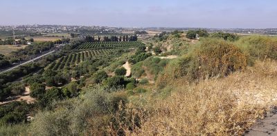
Scenic viewpoint
Location: מועצה אזורית ברנר
GPS coordinates: 31.84126,34.78537
Latest update: November 13, 2025 13:46

Paratroopers War Memorial
349 m
Yesha House
2.9 km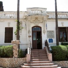
Gedera Museum
3.1 km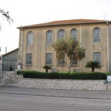
Yeshurun Central Synagogue
3.1 km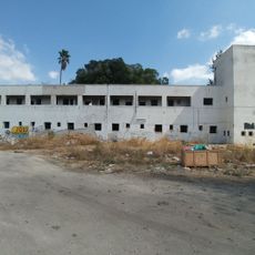
Qatra Police Station
2.2 km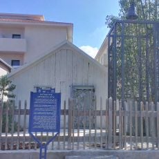
Sverdloff Hut
3.1 km
Bilu'im bor (pit)
2.9 km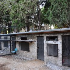
Givat Brenner Pigeon Coop
2.9 km
Sereni House
3.2 km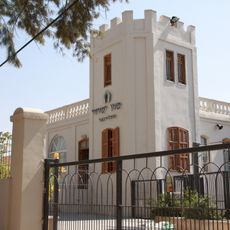
Beit Levinson
3.1 km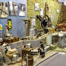
Treasures Museum, Givat Brenner
3 km
The Shoemaking Workshop
3 km
Gan Le'ummi Giv‘at Merar
165 m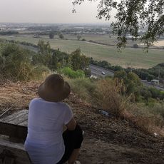
זולה (פינת חמד לנוח ולאכול) עם נוף יפה לכיוון מזרח
75 m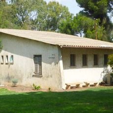
Luchansky House
2.8 km
The Circular Cowshed
3 km
Tannenbaum House
3.4 km
מוזיאון "אוצרות"
3 km
The Stable
3 km
Givat Brenner Secretariat
3.2 km
Givat Brenner Dining Hall
3.1 km
The Silo
3.1 km
Mountain, summit, hill, scenic viewpoint
242 m
Scenic viewpoint
138 m
מבנה נטוש
2.7 km
קרב גבעות מע'ר
132 m
משטרת קטרה
2.4 km
תל קטרה
2.1 kmReviews
Visited this place? Tap the stars to rate it and share your experience / photos with the community! Try now! You can cancel it anytime.
Discover hidden gems everywhere you go!
From secret cafés to breathtaking viewpoints, skip the crowded tourist spots and find places that match your style. Our app makes it easy with voice search, smart filtering, route optimization, and insider tips from travelers worldwide. Download now for the complete mobile experience.

A unique approach to discovering new places❞
— Le Figaro
All the places worth exploring❞
— France Info
A tailor-made excursion in just a few clicks❞
— 20 Minutes