תצפית על מערת שמשון
Location: מועצה אזורית מטה יהודה
GPS coordinates: 31.75798,35.03073
Latest update: November 13, 2025 03:32
Avshalom Cave
740 m
Scroll of Fire
2.1 km
Mahseya
2.5 km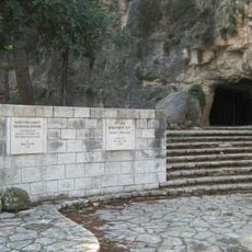
B'nai B'rith cave
2.2 km
American Independence Park
1.5 km
יד אנה פרנק
2.1 km
Har Yaala
1.4 km
Shluhat Bohen
2.2 km
Me‘arat Shimshon
1 km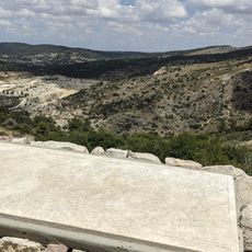
מצפור שמורת נחל שורק
641 m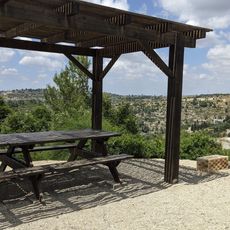
מצפה יוסי
2.2 km
Shemurat Naẖal Dolev
2.7 km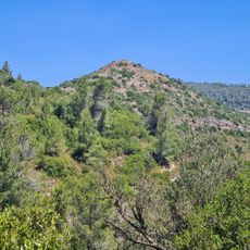
Tura ruins
2.9 km
Shemurat Me‘arat HaNetifim
895 m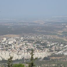
תצפית מבצע ההר
859 m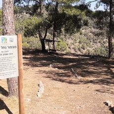
Nahal Kisalon Lookout Point
1.9 km
Scenic viewpoint
856 m
Scenic viewpoint
2.1 km
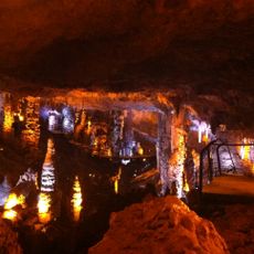
Soreq Cave
845 m
הצ'לנג'ר
1.1 km
חרבת בוהן
2.1 km
חורבת מדרג'
1.8 km
Ruins
1.7 km
Khirbet esh Sheikh Ibrahim
2.5 km
חורבת רביעה
516 m
Archaeological site
1.2 km
גת
1.3 km
יד אנה פרנק
2.2 kmReviews
Visited this place? Tap the stars to rate it and share your experience / photos with the community! Try now! You can cancel it anytime.
Discover hidden gems everywhere you go!
From secret cafés to breathtaking viewpoints, skip the crowded tourist spots and find places that match your style. Our app makes it easy with voice search, smart filtering, route optimization, and insider tips from travelers worldwide. Download now for the complete mobile experience.

A unique approach to discovering new places❞
— Le Figaro
All the places worth exploring❞
— France Info
A tailor-made excursion in just a few clicks❞
— 20 Minutes