
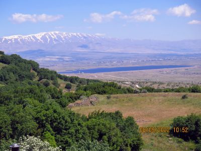
תצפית יפה לכיוון סוריה והחרמון.
Location: מועצה אזורית גולן
GPS coordinates: 33.04727,35.85283
Latest update: October 24, 2025 18:55
Mount Bental
11 km
Mount Avital
8.7 km
Quneitra Crossing
8.1 km
Tall al Faras
9.8 km
Har Hozek
782 m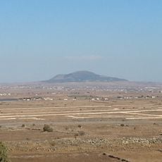
Tell al-Hara
13.1 km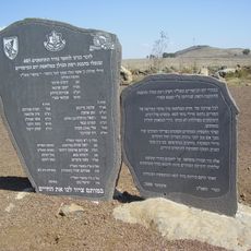
405th Reg. memorial
13.7 km
Tel Juhader
13.3 km
Har Bnei Rasan
4.2 km
Mount Yosifon
5.3 km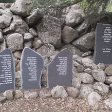
Gadsar 134 memorials
7.3 km
The jeep memorial
12 km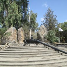
Barak brigade memorial site
13.4 km
179th brigade memorial
9.3 km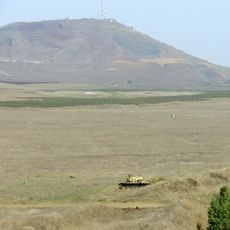
שמורת הר פרס
10.1 km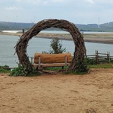
Einav Viewpoint
11.8 km
תצפית הר בנטל
11 km
אנדרטה לזכר לוחמי גדוד 95
9.1 km
תצפית קונייטרה
8.4 km
Scenic viewpoint
11.9 km
Viewpoint
11.7 km
תצפית לחרמון
9.9 km
תצפית מהר אביטל
8.5 km
תצפית תל שיפון
7.9 km
אודיטוריום
7.9 km
سد رويحينة
5 km
מצפה עמיחי
8 km
תצפחת גבעת פזרה
3.9 kmReviews
Visited this place? Tap the stars to rate it and share your experience / photos with the community! Try now! You can cancel it anytime.
Discover hidden gems everywhere you go!
From secret cafés to breathtaking viewpoints, skip the crowded tourist spots and find places that match your style. Our app makes it easy with voice search, smart filtering, route optimization, and insider tips from travelers worldwide. Download now for the complete mobile experience.

A unique approach to discovering new places❞
— Le Figaro
All the places worth exploring❞
— France Info
A tailor-made excursion in just a few clicks❞
— 20 Minutes