Mount Yosifon, Volcanic summit in Golan Heights, Syria.
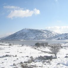
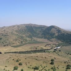
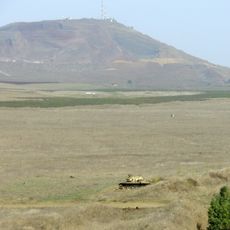
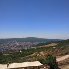
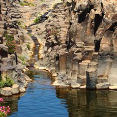
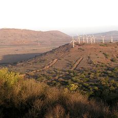
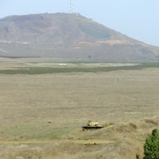
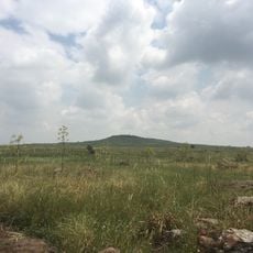
Mount Yosifon is a volcanic summit in the Golan Heights that rises to about 981 meters. Its steep slopes are composed of volcanic rock that shapes the character of this central highland region.
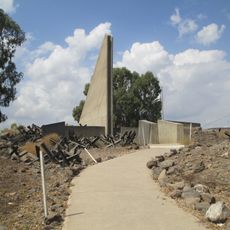
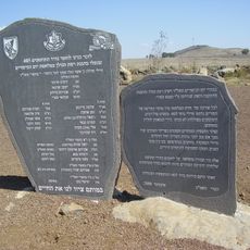
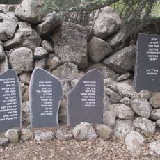
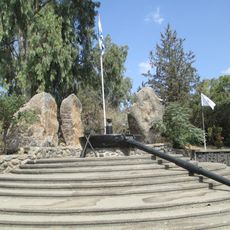
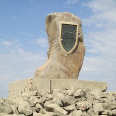
The hill's Arabic name, Tel Yusuf, was Hebraized by the Government Names Committee, which first proposed Tel Yosef; because that name belonged to a Jezreel Valley kibbutz, it chose Har Yosifon after the Book of Yosifon, based on the works of Josephus, a main source on Jewish settlement in the Golan in the Second Temple period. In the Yom Kippur War Syrian forces took the hill, and IDF troops retook it on 10 October 1973.
The summit carries different names across languages: Tall Yusuf in Arabic and Har Yosifon in Hebrew, reflecting the diverse heritage of the region. This naming tradition shows how different communities have long connected to this place.
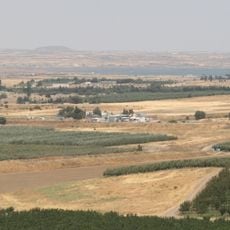
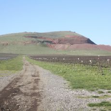
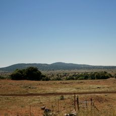
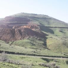
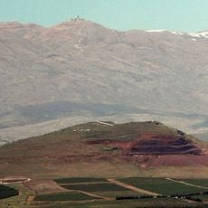
Mount Yosifon lies between Mount Hozek and Mount Shifon, south of Ein Zivan, and its lower slopes carry a faint dirt track visible on the grass. The summit is reached on foot; no road or facility is recorded there. On the north-eastern slope stands an abandoned quarry of tuff and scoria, a landmark for orientation.
On the mountain's north-eastern slopes lies an abandoned quarry of tuff and scoria, the porous volcanic rock thrown out during eruptions. The quarry is not mentioned in the summit's name or in the battle accounts, so visitors walking the lower slope can spot the cut face where this material was taken.
The community of curious travelers
AroundUs brings together thousands of curated places, local tips, and hidden gems, enriched daily by 93,246 contributors worldwide.