Mt. Hermonit, Mountain summit in the Golan Heights, Israel
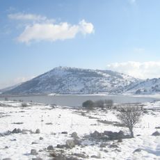
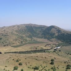
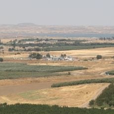
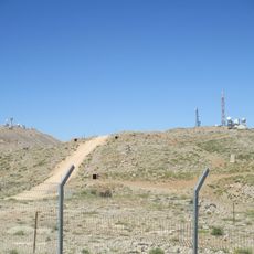
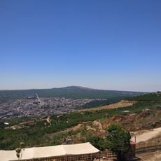
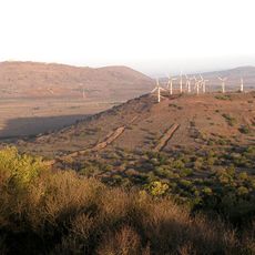
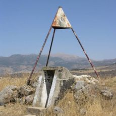
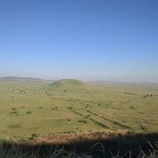
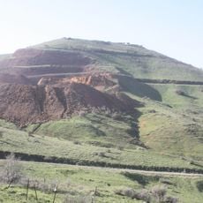
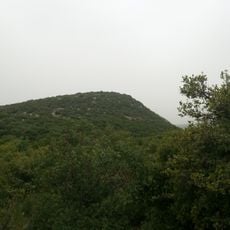
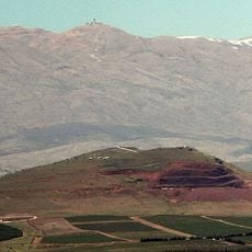
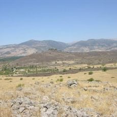
Mount Hermonit rises to 1,211 meters (3,973 feet) above sea level and stands as the second highest peak in the Golan Heights. A partially paved road reaches the summit, where you can view the Baca Valley and observe the volcanic rock formations of this dormant volcano.
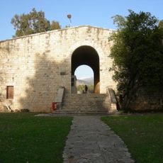
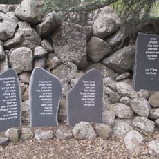
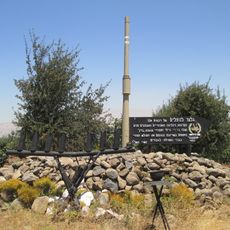
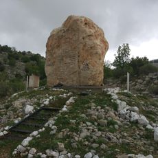
Before the 1973 Yom Kippur War, Mount Hermonit served as an Israeli observation point over Syrian territory. After the war, a bunker was built on the summit and remains unoccupied. The valley south of the mountain was the site of the Battle of the Valley of Tears from October 6 to 9, 1973, where Israeli tank forces stopped the Syrian advance.
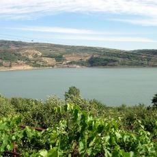
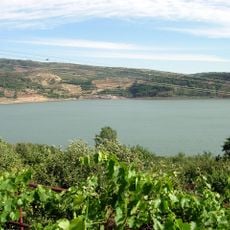
The Arabic name Tell al-Sheikhah derives from Jabal al-Sheikh, the Arabic name of Mount Hermon. In Druze tradition Tell al-Sheikhah is the wife of Jabal al-Sheikh, and Lake Ram, lying between them, is a blue eye that lets her check her husband's fidelity. The Hebrew name Hermonit is a feminine diminutive of Hermon.
The summit is accessible via a partially paved road and offers wide views of the surrounding landscape. The climb is manageable, but you should plan for weather conditions and daylight hours.
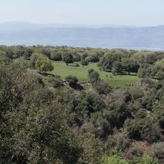
A tuff quarry still operates on Mount Hermonit, cutting into the volcanic cone. The mountain lies mostly within the Hermonit Nature Reserve, which covers 1,855 hectares. The reserve and the quarry sit side by side on the same slope.
The community of curious travelers
AroundUs brings together thousands of curated places, local tips, and hidden gems, enriched daily by 93,910 contributors worldwide.