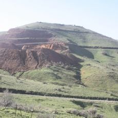
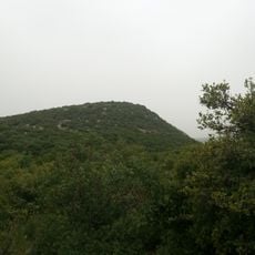
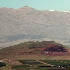
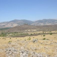
Tal al-Manfucha, Summit and volcano in Golan Heights, Israel
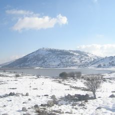
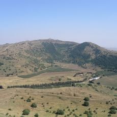
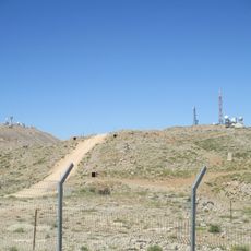
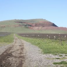
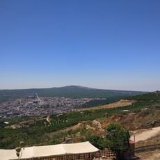
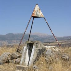
Tal al-Manfucha (Har Ram) is a dormant volcano in the northern Golan Heights, the northernmost of the Israeli line of volcanic hills, 3 km southeast of Majdal Shams. It has two summits: the western at 1,182 m and the eastern at 1,185 m. Druze farmland of Majdal Shams and Mas'adeh covers its slopes, and the Israel–Syria border runs down its eastern side.
Har Ram is a dormant volcano, the northernmost of the line of volcanic hills along the eastern edge of the Golan Heights. Since 1967 the area has been occupied by Israel, and the border with Syria runs down the mountain's eastern slope. Its two summits, 1,182 m in the west and 1,185 m in the east, carry farmland of the Druze villages of Majdal Shams and Mas'ade.
The mountain's Arabic names, Tal Sder al-Arous and Tal al-Amoria, are still used locally alongside the Hebrew Har Ram. Its slopes hold farmland worked by the Druze villages of Majdal Shams and Mas'adeh, and the Israel-Syria border runs down the eastern flank.
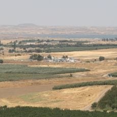
The eastern slope carries the Israel–Syria boundary line, so the summit area lies close to a restricted frontier zone; access follows the terrain from the Majdal Shams side, about 3 km southeast of the town. The western peak reaches 1,182 m and the eastern 1,185 m, and the mountain lies roughly 30 km northeast of Katzrin. Druze farmers from Majdal Shams and Mas'ade cultivate plots on the slopes.
The eastern slope carries the Israel–Syria boundary line, while the western summit rises to 1,182 m and the eastern to 1,185 m. Druze farmers from Majdal Shams and Mas'adeh cultivate fields on the mountain's slopes.
The community of curious travelers
AroundUs brings together thousands of curated places, local tips, and hidden gems, enriched daily by 92,654 contributors worldwide.