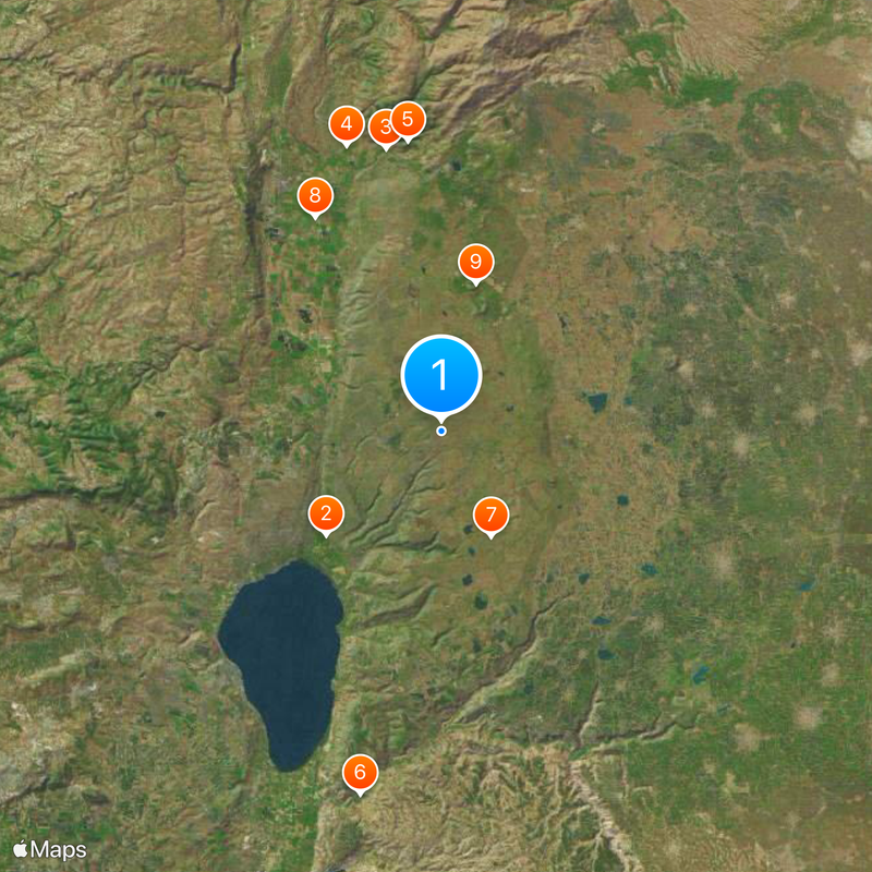
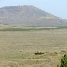
Golan Heights, Strategic plateau in northern Israel.
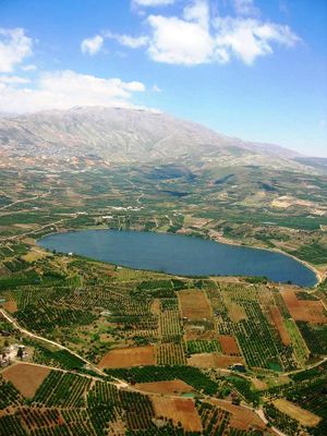
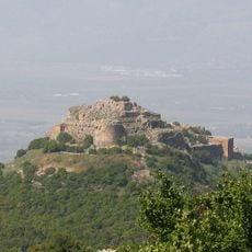
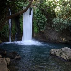
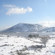
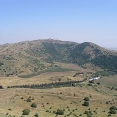
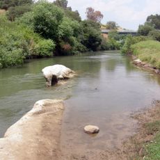
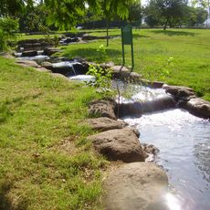
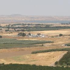
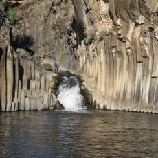
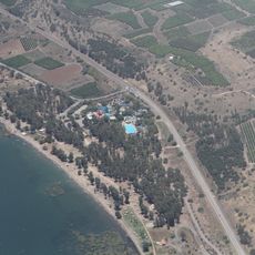
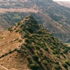
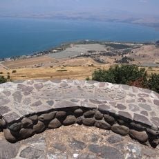
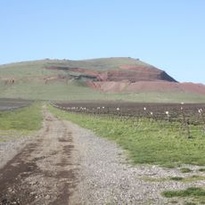
This territory is a plateau that extends from the slopes of Mount Hermon in the north to the Yarmouk River in the south, with elevations reaching 1226 meters (over 4000 feet). The landscape alternates between rolling hills, rocky plains, and deep valleys, crossed by rivers and streams that flow westward toward the Sea of Galilee.
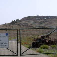
Israel took control of the area during the Six-Day War in 1967, after it had been under Syrian administration. In 1981, the Israeli parliament passed legislation applying Israeli law to the region, a decision that remains contested internationally.
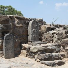
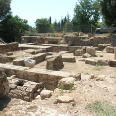
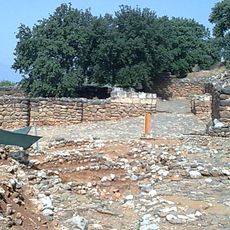
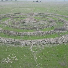
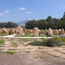
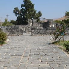
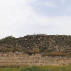
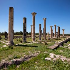
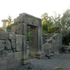
Several Druze villages maintain their own traditions and speak Arabic, while other communities are home to Jewish families who have settled the area over recent decades. Visitors can explore religious sites from different periods, including synagogue ruins and dolmens that still stand as silent witnesses to past communities.
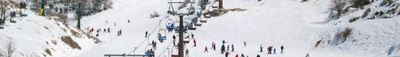
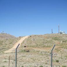
The area is accessible by several roads that pass through small communities and open landscapes, though some zones may have restricted access for security reasons. Temperatures vary widely depending on elevation, with cooler winters at higher altitudes and milder conditions in the valleys.
The volcanic basalt formations create a dark, almost black landscape that has left behind fertile soil and gives the region a distinctive appearance. A substantial portion of the water flowing into the Sea of Galilee, which supplies surrounding regions, originates from springs and rivers in this plateau.
The community of curious travelers
AroundUs brings together thousands of curated places, local tips, and hidden gems, enriched daily by 60,000 contributors worldwide.