Chest opened
+${chestReward.xp} XP
Explorer
NOUVEAU ×${chestReward.collectible.quantity}
tapez pour fermer

See the monuments around you in AR Open chests in the app

Around Us is built for your phone — point your camera at the streets and discover the monuments and places around you in augmented reality. Around Us is built for your phone — chests unlock when you walk, explore and capture nearby places.

Enable Location

We need your location to show you interesting places around you

Discover nearby places

Find interesting locations and hidden gems around you

Precise directions

Get accurate directions and distances to places

Your location is never shared with other users. It's only used when you tap the location button.

Rainbow Point

Log in to your account

Start exploring — it's free

Trusted by 87,117 travelers worldwide

Continue with Google
Continue with Apple
or

We will send you a code to connect

By continuing, you accept our Terms and Conditions and our Privacy Policy

Check your inbox

We've sent a pincode in your inbox. Please enter the code below.

Discussion Reviews 1 Photos
300+ Popularity

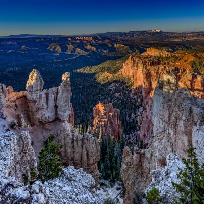
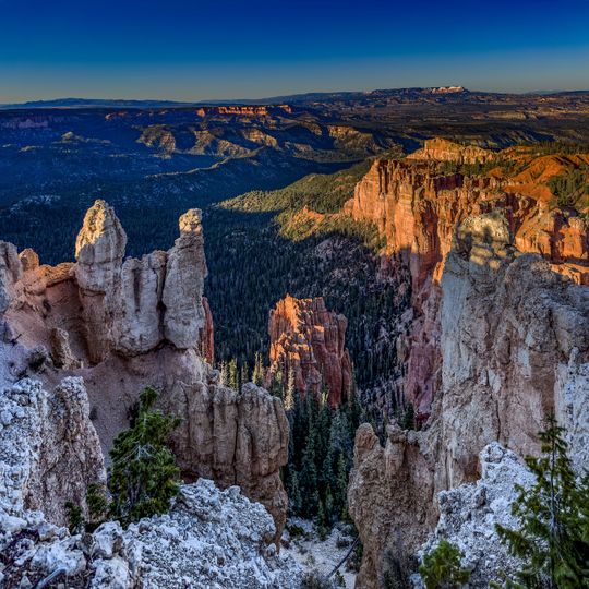
Rainbow Point, Summit in Bryce Canyon National Park, Utah, US

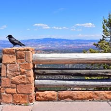
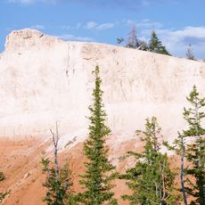
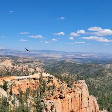
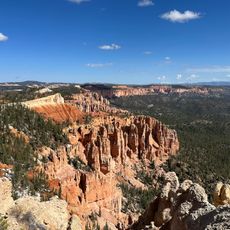
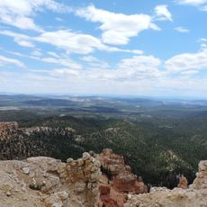
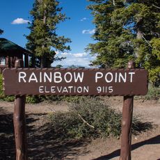
Rainbow Point is a summit in the southern part of Bryce Canyon National Park in Utah, sitting at just under 9,100 feet (about 2,770 m) above sea level. It overlooks the full length of the park to the north and, on clear days, offers views reaching into Arizona to the south.

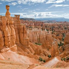
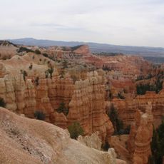
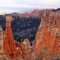
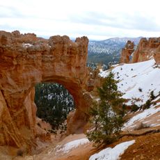
The rock layers visible from Rainbow Point were lifted by movements deep inside the earth over roughly 20 million years, raising parts of the plateau by around 1,000 feet (about 300 m). Rain and snowmelt then carved the deep valleys and spires that shape the landscape today.

Rainbow Point sits at the end of the main park road and is often the last stop on a long drive through Bryce Canyon. The Bristlecone Loop trail nearby passes trees that have been growing here for over 1,800 years, giving visitors a rare chance to stand next to something truly ancient.

Rainbow Point sits at the end of a winding drive of about 17 miles (27 km) through the park, so visitors should allow enough time for the trip. The elevation means temperatures can drop quickly, so bringing an extra layer of clothing is a good idea regardless of the season.

Rainbow Point sits on a natural water divide where rain falling on one side flows toward the Colorado River, while rain on the other side drains toward the lakes and deserts of Nevada. This invisible line runs right through the viewing area, quietly splitting the region's water systems in two.

The community of curious travelers

AroundUs brings together thousands of curated places, local tips, and hidden gems, enriched daily by 60,000 contributors worldwide.

Start exploring
Location
Address
Rainbow Point, Utah, USA
GPS coordinates
37.47598,-112.24068
Latest update
September 12, 2026 11:23
Reviews
Share your experience

No review yet

Discussions
Start a discussion...

No discussion yet

« Rainbow Point - Summit in Bryce Canyon National Park, Utah, US » is provided by Around Us (aroundus.com). Images and texts are derived from Wikimedia project under a Creative Commons license. You are allowed to copy, distribute, and modify copies of this page, under the conditions set by the license, as long as this note is clearly visible.

Discover hidden gems everywhere you go!

From secret cafés to breathtaking viewpoints, skip the crowded tourist spots and find places that match your style. Our app makes it easy with voice search, smart filtering, route optimization, and insider tips from travelers worldwide. Download now for the complete mobile experience.

Around Us App Screenshot

A unique approach to discovering new places

Le Figaro

All the places worth exploring

France Info

A tailor-made excursion in just a few clicks

20 Minutes

Around Us
Travel Guide & Maps
Download

Send to your phone

QR Code
1

Open the camera app on your mobile.

2

Point at the QR code with your camera. A notification will appear.

3

Tap the notification to open the link.