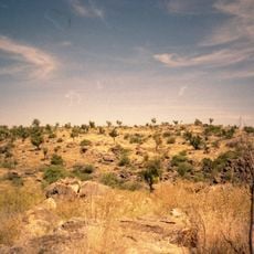
Vehicle
Location: Tablelands
Location: Barkly Region
GPS coordinates: -19.98245,136.62754
Latest update: November 8, 2025 03:31
Riversleigh
235.2 km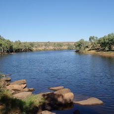
Davenport Murchison National Park
201.2 km
Camooweal Caves National Park
163.5 km
Tree of Knowledge, Camooweal
155.7 km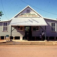
Freckleton's Stores, Camooweal
156.1 km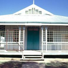
Community Hall
156.4 km
Hodgkinson's Marked Tree
155.4 km
Mount Hogarth
205.5 km
Iytwelepenty / Davenport Ranges National Park
198.7 km
Blenheim Hill
144.1 km
Cullen Lookout
153.1 km
Boon Hill
221.4 km
Scarr Hill
158.4 km
Mount Cairns
210.5 km
Mount Drummond
175.9 km
Mount Alone
191.3 km
Briggs Hill
124.7 km
Mount Lamb
63.2 km
Wolfram Hill
180.6 km
Queensland - Northern Terriory Border
143.4 km
Cave
160.4 km
Caves
162.9 km
Memorial, commemorative plaque
172.4 km
Ruins
186.8 km
Monument
143.4 km
Police Station Ruins
173.1 km
Waterfall
236.9 km
Waterfall
236.6 kmReviews
Visited this place? Tap the stars to rate it and share your experience / photos with the community! Try now! You can cancel it anytime.
Discover hidden gems everywhere you go!
From secret cafés to breathtaking viewpoints, skip the crowded tourist spots and find places that match your style. Our app makes it easy with voice search, smart filtering, route optimization, and insider tips from travelers worldwide. Download now for the complete mobile experience.

A unique approach to discovering new places❞
— Le Figaro
All the places worth exploring❞
— France Info
A tailor-made excursion in just a few clicks❞
— 20 Minutes