
Mount Lamb, mountain in Northern Territory' Australia
Location: Northern Territory
GPS coordinates: -19.51020,136.29323
Latest update: March 9, 2025 20:29
Boodjamulla (Lawn Hill) National Park
237.4 km
Boxhole crater
363.7 km
Lake Moondarra
362.9 km
Riversleigh
251.2 km
Cape Crawford
320.3 km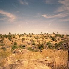
Australian Fossil Mammal Sites (Riversleigh / Naracoorte)
259 km
Casa Grande, Mount Isa
359.7 km
Davenport Murchison National Park
206.2 km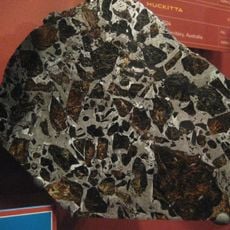
Huckitta
322.7 km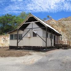
Tent House, Mount Isa
360.6 km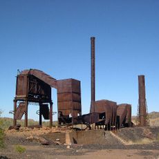
Mount Cuthbert Township and Smelter
383.6 km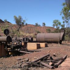
Mount Isa Mine Early Infrastructure
359.5 km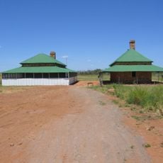
Tennant Creek Telegraph Station
216.7 km
Lake Mary Ann
218.6 km
Old Westmoreland Homestead
317.9 km
Landsborough Tree
397.4 km
Moonah Creek Hanging Tree
352.3 km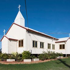
Church of Christ the King
221.3 km
Barkly Work Camp
218.2 km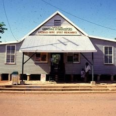
Freckleton's Stores, Camooweal
196.7 km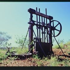
Bower Bird Battery
362.5 km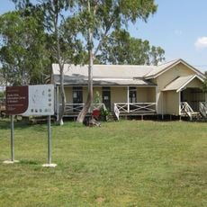
Burketown Post Office
395.6 km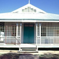
Community Hall
196.9 km
Hodgkinson's Marked Tree
193.8 km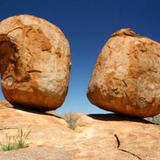
Karlu Karlu / Devils Marbles Conservation Reserve
242.4 km
Mount Isa Underground Hospital & Museum
361.2 km
Wycliffe Well
258.2 km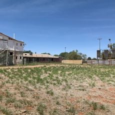
Pioneer Theatre
220.9 kmReviews
Visited this place? Tap the stars to rate it and share your experience / photos with the community! Try now! You can cancel it anytime.
Discover hidden gems everywhere you go!
From secret cafés to breathtaking viewpoints, skip the crowded tourist spots and find places that match your style. Our app makes it easy with voice search, smart filtering, route optimization, and insider tips from travelers worldwide. Download now for the complete mobile experience.

A unique approach to discovering new places❞
— Le Figaro
All the places worth exploring❞
— France Info
A tailor-made excursion in just a few clicks❞
— 20 Minutes