Wayside shrine
Location: Cazenave-Serres-et-Allens
GPS coordinates: 42.84020,1.67203
Latest update: November 13, 2025 05:47
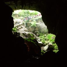
Lombrives
4.9 km
Mont Fourcat
4 km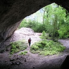
Grotte des Eglises
4.4 km
Grotte de Fontanet
3.9 km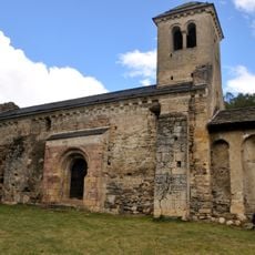
Chapelle Saint-Paul d'Arnave
3.2 km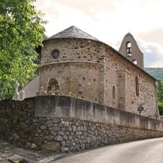
Église Saint-Laurent de Sinsat
4.9 km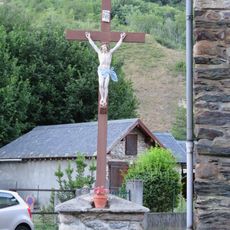
Catholic church building, wayside cross
4.7 km
Spoulga de Bouan
4.5 km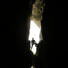
Grotte de l'Ermite
4.4 km
Pic du Han
5 km
Trou de la Vapeur
4.4 km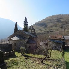
Église Saint-Pierre de Barry d'en Haut
3.2 km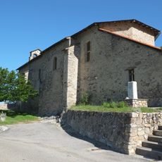
Église Saint-Jacques de Cazenave
125 m
Mercus-Garrabet war memorial
3.5 km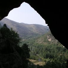
Grotte de Sainte-Eulalie
4.5 km
Thermes Fraxine
4.5 km
Établissement thermal Sainte-Germaine
4.7 km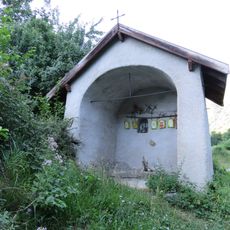
Chapelle de Sourdeign de Pontillet
4.1 km
Pic de la Lauzat
3.5 km
Lugeat
2.6 km
Scenic viewpoint
4.4 km
Arbre de la Liberté
3.9 km
Croix de la passion
4.5 km
Catholic church building, wayside cross
3.4 km
Wayside cross
3.5 km
Wayside shrine
2.6 km
Wayside cross
2.6 km
Mémorial Résistance
4.5 kmReviews
Visited this place? Tap the stars to rate it and share your experience / photos with the community! Try now! You can cancel it anytime.
Discover hidden gems everywhere you go!
From secret cafés to breathtaking viewpoints, skip the crowded tourist spots and find places that match your style. Our app makes it easy with voice search, smart filtering, route optimization, and insider tips from travelers worldwide. Download now for the complete mobile experience.

A unique approach to discovering new places❞
— Le Figaro
All the places worth exploring❞
— France Info
A tailor-made excursion in just a few clicks❞
— 20 Minutes