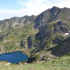
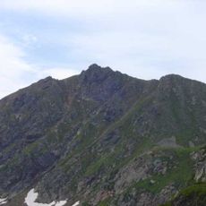
Pic de la Lauzat, Mountain summit in Ariège, France
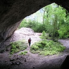
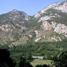
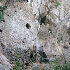
Pic de la Lauzat is a mountain summit in the French Pyrenees with steep slopes and rocky terrain. Rising about 1,774 meters (5,820 feet) in elevation, it stands as a prominent point along the surrounding ridge system.
The peak was first documented and measured by French cartographers during mapping expeditions in the early 1900s. These surveys helped establish a detailed understanding of the Pyrenean landscape during that era.
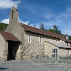
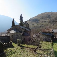
Shepherds have long used the paths around this summit to move their flocks between lower and higher pastures with the seasons. You can still see these routes crossing the landscape, showing how people have worked with this mountain for generations.
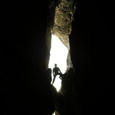
The climb starts from nearby parking areas and follows marked trails, taking about three hours for experienced hikers. The terrain is steep and rocky, so proper footwear and preparation are essential before heading up.
Several raptor species nest in the cliffs around the peak during spring months and can be spotted from the summit. This makes it a rewarding place for birdwatchers visiting the area.
The community of curious travelers
AroundUs brings together thousands of curated places, local tips, and hidden gems, enriched daily by 60,000 contributors worldwide.