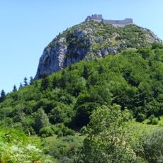
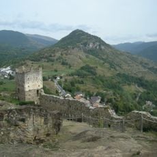
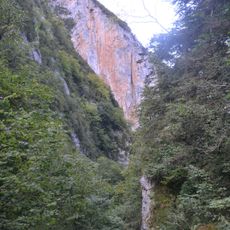
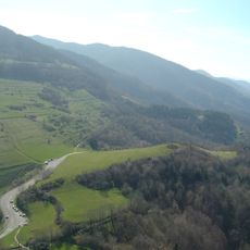
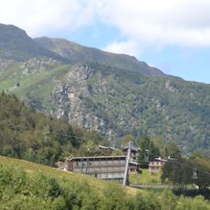
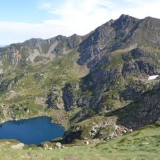
Pic de Saint-Barthélemy, Mountain peak in Ariège, France.
Pic de Saint-Barthélemy is a mountain summit in the Tabe massif in Ariège that reaches about 2348 meters. From the top, you can see across the entire Pyrenean range with many neighboring peaks visible in all directions.
The peak was among the first Pyrenean summits measured scientifically: Jean-Dominique Cassini and Maraldi observed it on 5 December 1700 and 18 February 1701, obtaining 2,329 and 2,307 m. In 1731 François de Plantade calculated 2,319 m, and on 9 September 1789 geodetic surveyors recorded 2,322.5 m. It also served as a signal point for Delambre and Méchain's meridian work of 1792-1797.
The name Saint-Barthélemy first appears in the massif in 1639, in Latin, for the ponds below the summit (étangs de Saint-Barthélemy); the peak itself took the name only at the end of the 17th or start of the 18th century, in Maraldi's memoir. Locally the mountain is still called montagne de Tabe, from the Occitan Tava recorded in 1075 and 1295.
The ascent from Montségur follows a trail that takes several hours and involves a significant elevation gain. It is important to wear good footwear and bring enough water and food.
In 1700–1701 Cassini I and Maraldi observed the peak to measure the Paris meridian; their readings gave 1,195 and 1,184 toises (about 2,329 and 2,307 m). In 1744 it was one of only six Pyrenean summits marked on Cassini's triangulation map.
The community of curious travelers
AroundUs brings together thousands of curated places, local tips, and hidden gems, enriched daily by 93,857 contributors worldwide.