Pic de Soularac, Mountain summit in Ariège, France
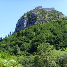
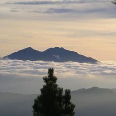
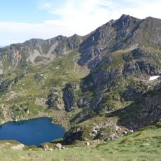
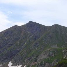
Pic de Soularac is a 2,368-meter mountain in the Tabe Massif of the French Pyrenees, located in Ariège. The summit presents a rocky and snowy terrain that challenges climbers following the southern ridge route from lower elevations.
In 1703 Maraldi and Cassini labelled the geodesic summit Mont Saint-Barthélemi, confusing it with its neighbour 800 m west. The name Trimouns is attested in 14th–17th century boundary charters, while Estang Tort dominated 19th-century maps. From 1865 to about 1940 state maps gave 2,343 m instead of 2,368 m, wrongly placing it second in the Tabe massif.
The name Soularac may derive from Soula-rac, meaning "rock of the sun," possibly predating Latin influence. Earlier names came from features: Trimouns ("three mounts") for the trident-shaped summit, and Estang Tort ("twisted pond") for the pond on its slopes. The summit long remained unnamed on maps, overshadowed by Pic de Saint-Barthélemy.
The climbing season runs from summer through early autumn when snow and ice cover are at their minimum. Experienced mountaineers should have solid rock climbing skills and proper acclimatization before attempting the ascent.
The peak ranks fourth among 8,344 mountains in Occitania based on prominence and maintains the twelfth position among 18,724 peaks across the Pyrenees range.
The community of curious travelers
AroundUs brings together thousands of curated places, local tips, and hidden gems, enriched daily by 92,840 contributors worldwide.