Gorges de la Frau, Canyon in Montségur and Comus, France
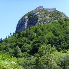
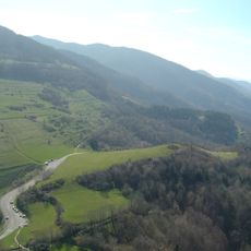
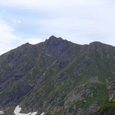
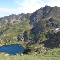
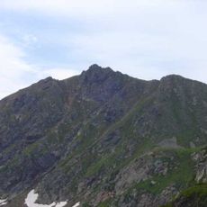
Gorges de la Frau is a canyon about 3 km long cut by the Hers-Vif some ten kilometres downstream of its source, separating the Tabe massif in Ariège from the Sault plateau in Aude. Its walls reach 300 to 400 m deep, with pale grey and reddish limestone bands and dark green vegetation streaking the ledges. The left bank lies in Montségur, the right in Comus.
The gorge carried old traffic and trade routes linking the high Pyrenean valleys (upper Ariège valley, Cerdagne) with the Ariège and Aude foothills. Its wooded slopes were heavily logged to supply naval construction in the 17th century, then cooperages until the end of the 19th century. Pastoralism and industry shaped the landscape over time.
The name "Frau" comes from a Catalan and Occitan word for "fracture", already recorded on Cassini's 18th-century map; the variant "affrau", suggesting fright, appeared later. The nearest peak of the massif de Tabe also carries the name. The gorges are crossed by a hiking path shared by three long-distance routes: GR 7B, GR 107 and GR 367, the Sentier cathare.
Multiple hiking trails lead through the gorge with options ranging from short day walks to longer excursions. The paths are accessible year-round, though spring and autumn offer the most comfortable conditions for walking.
The name "Frau" means fracture in Catalan and Occitan, not a Latin word; the erroneous form "affrau", suggesting fright, appeared later. The toponym already appears on Cassini's 18th-century map and is also borne by the nearest peak of the massif de Tabe above the gorge.
The community of curious travelers
AroundUs brings together thousands of curated places, local tips, and hidden gems, enriched daily by 93,576 contributors worldwide.