Montségur, Administrative commune in Ariège department, France
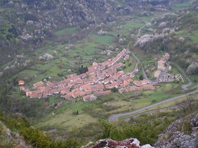
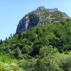
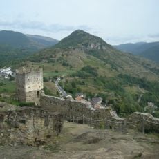
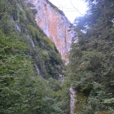
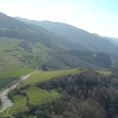
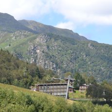
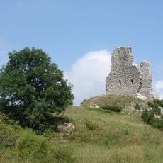
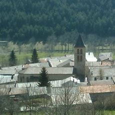
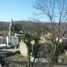
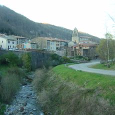
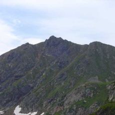
Montségur is a commune in the foothills of the Pyrenees with jagged mountain terrain and a famous fortress perched on the summit. The village itself sits in a valley with scattered houses surrounded by steep, forested slopes.
The region has been inhabited since ancient times, later becoming a medieval stronghold for Cathars in the 12th century. After a siege in 1244, the area transformed fundamentally, and the fortress lost its religious importance.
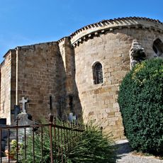
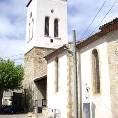
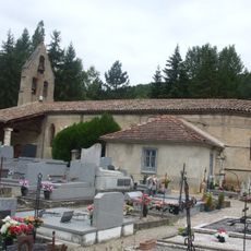
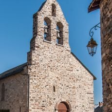
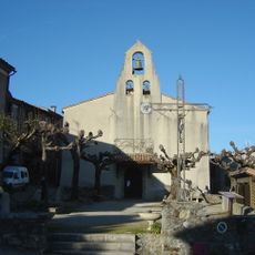
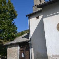
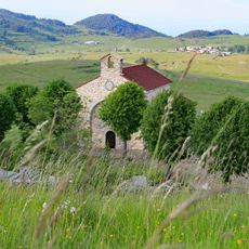
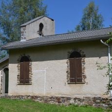
The name derives from an Occitan term meaning secure mountain, reflecting the landscape's protective qualities. Visitors can see a chapel dedicated to remembering the Cathar community that once lived here.
The best way to explore the fortress is a walk from the village up to the summit, which takes about 45 minutes. The path is steep and rocky, so good shoes and some fitness are important, especially in bad weather.
In the fortress walls you find simple stone structures showing how inhabitants lived during the siege. These ruins tell the story of daily life under persecution better than any historical record.
The community of curious travelers
AroundUs brings together thousands of curated places, local tips, and hidden gems, enriched daily by 60,000 contributors worldwide.