Wayside shrine
Location: La Bastide-de-Sérou
GPS coordinates: 43.02195,1.39268
Latest update: November 13, 2025 10:57
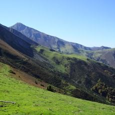
Ariège Pyrenees Regional Natural Park
4.1 km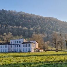
Château de Nescus
5 km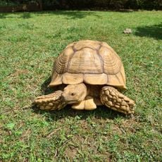
La Ferme des Reptiles
502 m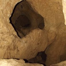
Mine de cuivre de La Bastide-de-Sérou
4.3 km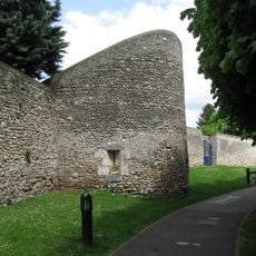
Tour du Loup
1.9 km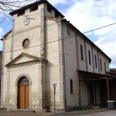
Église Saint-Michel de Castelnau-Durban
5 km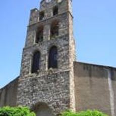
Église Saint-Jean-Baptiste de La Bastide-de-Sérou
3 km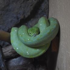
La Ferme des Reptiles
536 m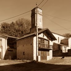
Église Saint-Barthélemy de Ponlat
4 km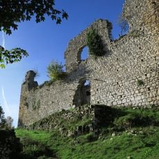
Château de Saint-Barthélémy
4.9 km
Wayside cross
828 m
Wayside cross
4.1 km
Catholic church building, wayside cross
3.6 km
Catholic church building, wayside cross
3.1 km
Catholic church building, wayside cross
4 km
Wayside cross
3.9 km
Wayside cross
3.1 km
Wayside cross
2.9 km
Wayside cross
2.7 km
Croix à la mémoire de 3 résistants tués le 22 août 1944
3.9 km
Wayside cross
4.2 km
Wayside cross
5 km
Wayside cross
3.4 km
Eychenne
3.3 km
Mangou
4.4 km
Wayside cross
4.9 km
Larché de dessous
4.4 km
War memorial, memorial
3.5 kmReviews
Visited this place? Tap the stars to rate it and share your experience / photos with the community! Try now! You can cancel it anytime.
Discover hidden gems everywhere you go!
From secret cafés to breathtaking viewpoints, skip the crowded tourist spots and find places that match your style. Our app makes it easy with voice search, smart filtering, route optimization, and insider tips from travelers worldwide. Download now for the complete mobile experience.

A unique approach to discovering new places❞
— Le Figaro
All the places worth exploring❞
— France Info
A tailor-made excursion in just a few clicks❞
— 20 Minutes