Junkers JU-52
Location: Rechtsruhr-Süd
Location: Mülheim an der Ruhr
GPS coordinates: 51.40694,6.94140
Latest update: November 4, 2025 13:24
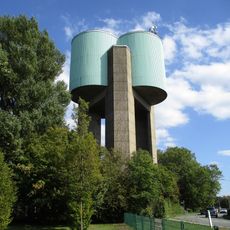
Fulerum Water Tower
1.9 km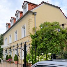
Haus Stein (Essen)
1.9 km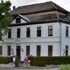
Haus Schuir
2.4 km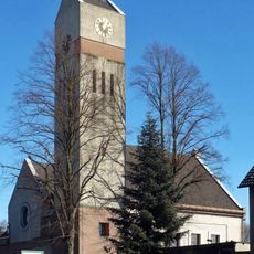
Evangelische Kirche Haarzopf
1.6 km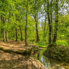
Rumbachtal, Gothenbach, Schlippenbach
1.2 km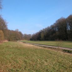
Forstbachtal
2.4 km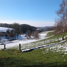
Rohmbachtal und Rossenbecktal
2 km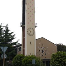
St. Theresia vom Kinde Jesu
2.2 km
LSG-Meisenburg und Kettwig-Umstand
2.2 km
LSG Oppspring und Rumbachtal
1.9 km
LSG-Am Treppchen, Rosskothen
1.4 km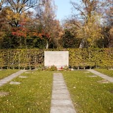
LSG-Hauptfriedhof
2.1 km
LSG-Ruhmbachtal und Steinbachgrund
601 m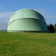
Luftschiffhalle
75 m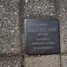
Stolperstein dedicated to Charlotte Zinke
728 m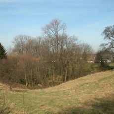
Hauptfriedhof
2.1 km
Memorial
2.1 km
Gedenktafel
759 m
Farm Wortberg
1.9 km
Memorial, war memorial
1.6 km
Aktionsgemeinschaft A 31
1.5 km
Scenic viewpoint
2.2 km
Stonehenge LANUV
1.7 km
Windspiel
2.2 km
Beekmannstraße / Scheidtstraße in Fulerum
2.3 km
Essener Aussichten
2.3 km
Eine Sonne für Mülheim
2.3 km
Parkende Flugzeuge
111 mReviews
Visited this place? Tap the stars to rate it and share your experience / photos with the community! Try now! You can cancel it anytime.
Discover hidden gems everywhere you go!
From secret cafés to breathtaking viewpoints, skip the crowded tourist spots and find places that match your style. Our app makes it easy with voice search, smart filtering, route optimization, and insider tips from travelers worldwide. Download now for the complete mobile experience.

A unique approach to discovering new places❞
— Le Figaro
All the places worth exploring❞
— France Info
A tailor-made excursion in just a few clicks❞
— 20 Minutes