
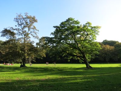
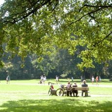
LSG Oppspring und Rumbachtal, protected area in Germany
Location: Mülheim an der Ruhr
Inception: 1982
GPS coordinates: 51.42195,6.92887
Latest update: March 2, 2025 23:39
Witthausbusch
2.4 km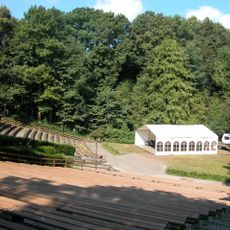
Freilichtbühne Mülheim an der Ruhr
3 km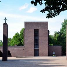
Südwestfriedhof Essen
3 km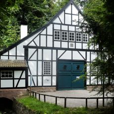
Halbachhammer
3 km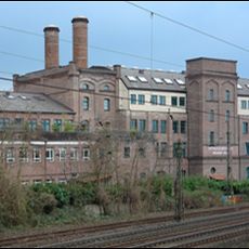
Alte Malzfabrik
2.6 km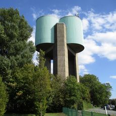
Fulerum Water Tower
1.4 km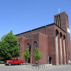
St. Mariae Geburt
3.1 km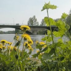
Mendener Brücke
2.9 km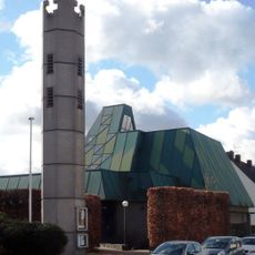
Christus-König-Kirche
2.8 km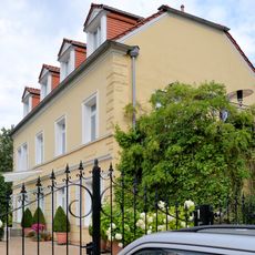
Haus Stein (Essen)
2.7 km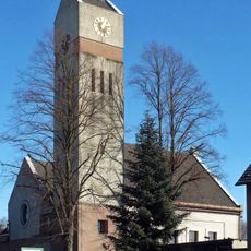
Evangelische Kirche Haarzopf
2.1 km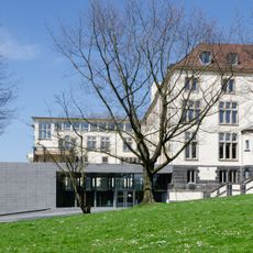
Haus der Stadtgeschichte
2.3 km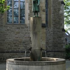
Kortum-Brunnen
3.2 km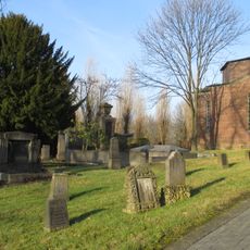
Jewish Cemetery Mülheim an der Ruhr
2 km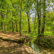
Rumbachtal, Gothenbach, Schlippenbach
699 m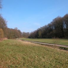
Forstbachtal
2.4 km
Rohmbachtal und Rossenbecktal
3.2 km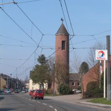
Heilig Geist
1.8 km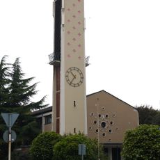
St. Theresia vom Kinde Jesu
1.3 km
CinemaxX Mülheim
2.7 km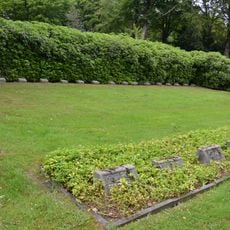
LSG-Suedwestfriedhof
2.9 km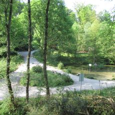
LSG Witthausbusch
2.4 km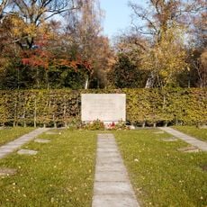
LSG-Hauptfriedhof
1.7 km
Winkhauser Bachtal
3 km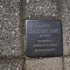
Stolperstein dedicated to Charlotte Zinke
1.7 km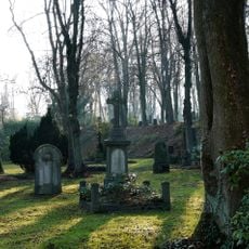
LSG-Park und Alter Friedhof an der Strasse Lohscheidt
2.8 km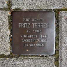
Stolperstein dedicated to Fritz Terres
2.7 km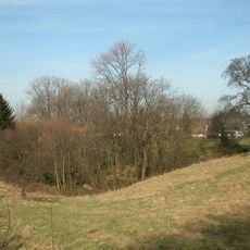
Hauptfriedhof
3 kmReviews
Visited this place? Tap the stars to rate it and share your experience / photos with the community! Try now! You can cancel it anytime.
Discover hidden gems everywhere you go!
From secret cafés to breathtaking viewpoints, skip the crowded tourist spots and find places that match your style. Our app makes it easy with voice search, smart filtering, route optimization, and insider tips from travelers worldwide. Download now for the complete mobile experience.

A unique approach to discovering new places❞
— Le Figaro
All the places worth exploring❞
— France Info
A tailor-made excursion in just a few clicks❞
— 20 Minutes