Mülheim an der Ruhr, Industrial city in North Rhine-Westphalia, Germany.
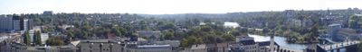
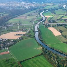
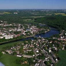
Mülheim an der Ruhr is a city in the Düsseldorf Government Region that spreads along both sides of the river, combining residential districts with low-rise buildings, green spaces by the water, and commercial zones. The center sits on the northern bank, where shops and administrative buildings cluster around the main train station, while to the south wooded hills slope down toward the riverbank.
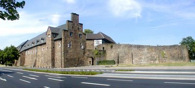
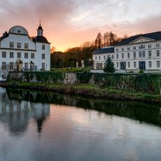
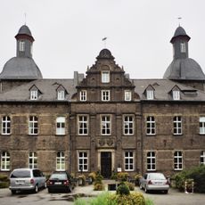
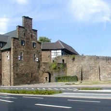
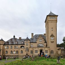
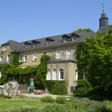
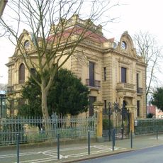
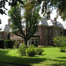
The settlement received its first documented mention in 1093 through the counts of Broich, whose castle still stands on the southern riverbank today. During the 19th century the town grew through coal mining and steel production, until it became an independent city in 1966.
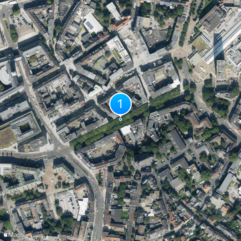
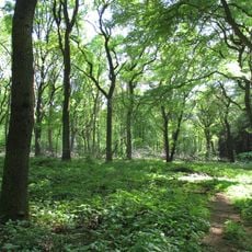
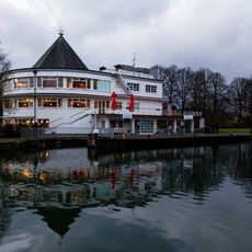
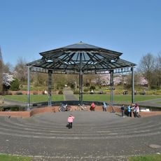
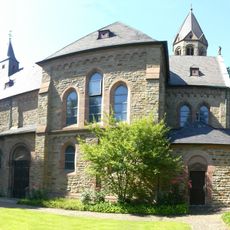
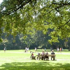
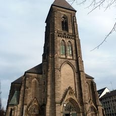
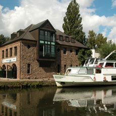
In the old town around Petrikirche, half-timbered houses from the 17th century line the narrow streets, while along the riverbanks walkers and cyclists use the former towpaths. On weekends, families bring their children to the parks along the river, where you can cross the water and walk on both banks.
From the main train station you can reach the city center in a few minutes on foot, while buses serve all districts and the metro connects to Essen. Cycling paths along the river allow you to explore the town without a car, and many green spaces are freely accessible.
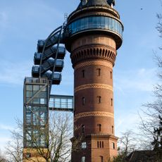
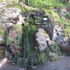
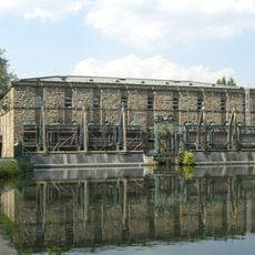
The city was the first in the Ruhr region to completely stop coal mining after the Rosenblumendelle mine closed in 1966. Today the former slag heaps are covered with greenery and offer viewpoints over the river valley.
The community of curious travelers
AroundUs brings together thousands of curated places, local tips, and hidden gems, enriched daily by 60,000 contributors worldwide.