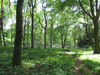
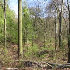
Duisburger Stadtwald, Urban forest in Duisburg, Germany
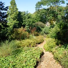
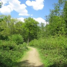
The Duisburger Stadtwald is an extensive wooded area in the city with varied plant communities and habitats throughout. The terrain is crisscrossed by a network of marked paths that guide visitors through different landscapes and geological zones.
The wooded area was shaped by ancient geological forces when seas flooded the region and left behind thick sediment layers. Over millennia, ice age processes further molded the surface, eventually creating the landscape that became a popular green space in modern times.
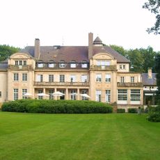
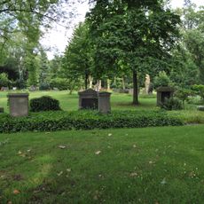
The forest serves as a meeting place where residents walk, jog, and spend time with family throughout the year. Various artworks and memorials line the paths, reflecting the area's connection to local creative traditions and community life.
The forest has multiple access points with parking areas, and public transit connects the site directly to the city center. Visitors should follow the marked trail system and bring water and sturdy shoes depending on their planned route.
Beneath the soil surface lie deposits from the ice age and ancient wind-blown sand formations that document the last glaciation. Scientists have uncovered fossil remains of extinct marine creatures in this area, revealing that seawater once covered the region.
The community of curious travelers
AroundUs brings together thousands of curated places, local tips, and hidden gems, enriched daily by 60,000 contributors worldwide.