Kaiserberg, Mountain summit in Duisburg, Germany
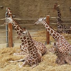
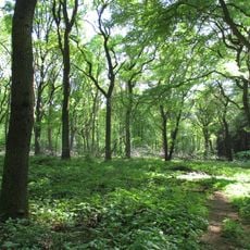
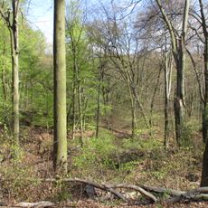
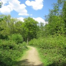
Kaiserberg is a forested hill in Duisburg and the highest point in the city, rising to about 95 meters above the surrounding lowland. Marked walking paths cross its wooded slopes, and the local zoo has occupied part of the hillside since the early 1900s.
The earliest signs of human presence on the hill go back roughly 10,000 years, when hunters camped there after the last glacial retreat. In medieval times the hill became a defined border point between two major territorial powers who used it for surveillance.
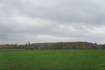
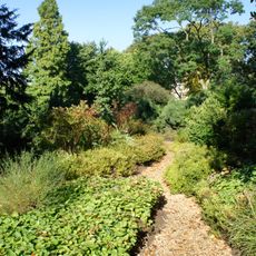
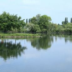
The hill is a familiar walking spot for people in Duisburg, where the forest paths feel close to the city but separate from it. At the top, the view over the flat surrounding land draws locals who come up regularly just to look out.
Several marked trails lead through the forest to the summit, making it easy to find your way around the hill. The incline is moderate, so no special gear is needed and most people reach the top without difficulty.
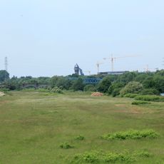
The Sedanwiese, a flat open area on the hill, turns into a sledding spot in winter and draws families from across the city. It is one of the few places in Duisburg where children can sled without leaving the urban area.
The community of curious travelers
AroundUs brings together thousands of curated places, local tips, and hidden gems, enriched daily by 60,000 contributors worldwide.