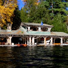
Camp Topridge
19.8 km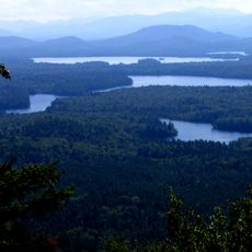
Saint Regis Canoe Area
17.7 km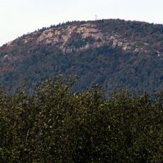
Azure Mountain
13.9 km
Saint Regis Mountain
17.4 km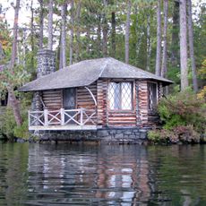
Camp Wild Air
21.7 km
Azure Mountain Fire Observation Station
13.9 km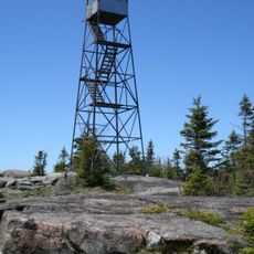
St. Regis Mountain Fire Observation Station
17.4 km
Carry Falls Reservoir
14.8 km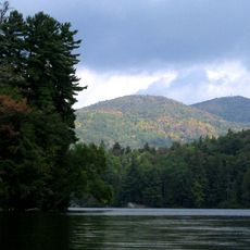
Saint Regis Pond
18.9 km
Blake Falls Reservoir
17.9 km
Higley Falls Reservoir
11.8 km
Rainbow Falls Reservoir
21.7 km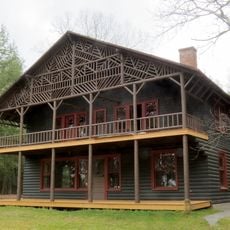
Lady Tree Lodge
20.2 km
Childwold Memorial Presbyterian Church
18 km
Stark Falls Reservoir
16.3 km
Burnt Island Rapids
14.9 km
Long Rapids
15.7 km
Twin Mountains
20.8 km
Stacy Bluff
16.1 km
Rollins Pond Campground
16.5 km
Waterfall
17.2 km
Waterfall
17.1 km
Saranac Inn Golf and Country Club
19.1 km
Fish Creek Pond Campground
19.4 km
Scenic viewpoint
13.9 km
Scenic viewpoint
13 km
Scenic viewpoint
17.3 km
Scenic viewpoint
12.9 kmReviews
Visited this place? Tap the stars to rate it and share your experience / photos with the community! Try now! You can cancel it anytime.
Discover hidden gems everywhere you go!
From secret cafés to breathtaking viewpoints, skip the crowded tourist spots and find places that match your style. Our app makes it easy with voice search, smart filtering, route optimization, and insider tips from travelers worldwide. Download now for the complete mobile experience.

A unique approach to discovering new places❞
— Le Figaro
All the places worth exploring❞
— France Info
A tailor-made excursion in just a few clicks❞
— 20 Minutes