Rainbow Falls Reservoir, body of water
Location: St. Lawrence County
GPS coordinates: 44.50888,-74.79034
Latest update: March 31, 2025 23:14
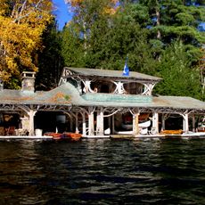
Camp Topridge
40.4 km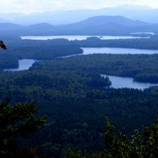
Saint Regis Canoe Area
38.6 km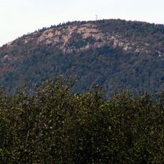
Azure Mountain
23.3 km
Saint Regis Mountain
38.3 km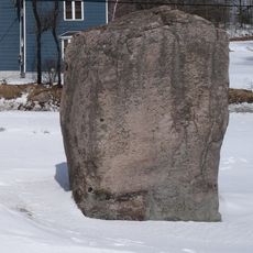
Sunday Rock
27.1 km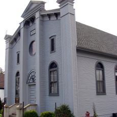
Beth Joseph Synagogue
40.9 km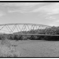
Raymondville Parabolic Bridge
39.8 km
Azure Mountain Fire Observation Station
23.3 km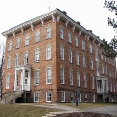
Richardson Hall, St. Lawrence University
31 km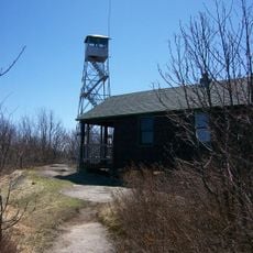
Arab Mountain Fire Observation Station
37.5 km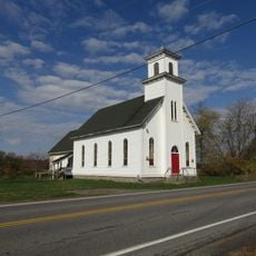
Buck's Bridge Community Church
36.4 km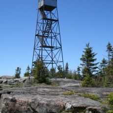
St. Regis Mountain Fire Observation Station
38.3 km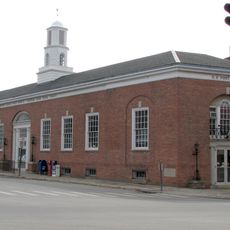
United States Post Office (Canton, New York)
31.6 km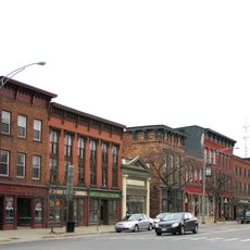
Market Street Historic District
23.8 km
Dr. Buck–Stevens House
33.3 km
Trinity Episcopal Chapel
36.8 km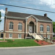
Hepburn Library
36.4 km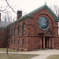
Herring-Cole Hall, St. Lawrence University
31.1 km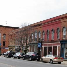
Village Park Historic District
31.5 km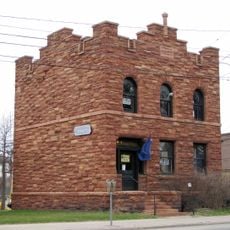
Clarkson Office Building
23.7 km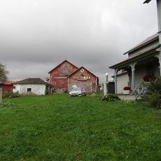
Hastings Farmstead
34.3 km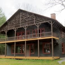
Lady Tree Lodge
41.9 km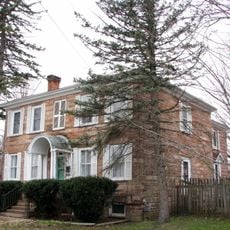
Jonathan Wallace House
24 km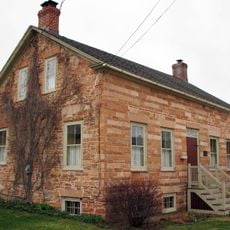
Clarkson-Knowles Cottage
23.4 km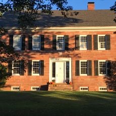
Gardner Cox House
18.5 km
Hopkinton Green Historic District
21.3 km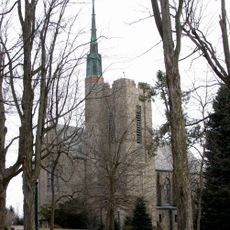
St. Lawrence University-Old Campus Historic District
31 km
North Country Children's Museum
23.8 kmReviews
Visited this place? Tap the stars to rate it and share your experience / photos with the community! Try now! You can cancel it anytime.
Discover hidden gems everywhere you go!
From secret cafés to breathtaking viewpoints, skip the crowded tourist spots and find places that match your style. Our app makes it easy with voice search, smart filtering, route optimization, and insider tips from travelers worldwide. Download now for the complete mobile experience.

A unique approach to discovering new places❞
— Le Figaro
All the places worth exploring❞
— France Info
A tailor-made excursion in just a few clicks❞
— 20 Minutes