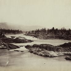
Kettle Falls
26.1 km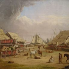
Fort Colvile
18.7 km
Little Pend Oreille National Wildlife Refuge
24.2 km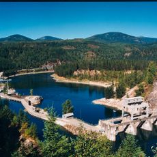
Box Canyon Dam (Washington)
27.9 km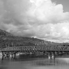
Kettle Falls Bridges
27 km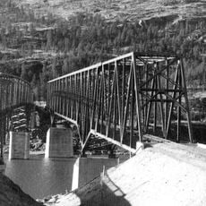
Kettle Falls Railroad Bridge
27 km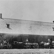
Old Apple Warehouse
23.1 km
Barstow Bridge
29.3 km
Northport Bridge
27.1 km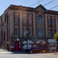
Colville Opera House and Odd Fellows Hall
18.5 km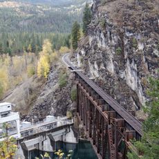
Box Canyon Bridge
28 km
Fort Colville Historical Monument
14.8 km
Jumpoff Joe Bluff
4.2 km
Seven Devils
18.9 km
Little Dalles
22.9 km
Little Pend Orielle State Wildlife Area
26 km
Little Pend Oreille River Natural Area Preserve
18.2 km
Trombetta Canyon Natural Area Preserve
22.8 km
Dominion Meadows Golf Course
17.6 km
Hixson Castles
18 km
Mining
18 km
Arden Old-Timer’s Rodeo Grounds
26 km
Woodland Theatre
23.2 km
Scenic viewpoint
25.4 km
Crystal Falls
20 km
Upper Meyers Falls
24 km
Trilbey Falls
20.8 km
Douglas Falls
12.6 kmReviews
Visited this place? Tap the stars to rate it and share your experience / photos with the community! Try now! You can cancel it anytime.
Discover hidden gems everywhere you go!
From secret cafés to breathtaking viewpoints, skip the crowded tourist spots and find places that match your style. Our app makes it easy with voice search, smart filtering, route optimization, and insider tips from travelers worldwide. Download now for the complete mobile experience.

A unique approach to discovering new places❞
— Le Figaro
All the places worth exploring❞
— France Info
A tailor-made excursion in just a few clicks❞
— 20 Minutes