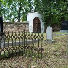
Bechyně, town in Tábor District, South Bohemian Region, the Czech Republic
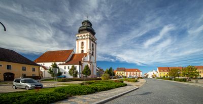
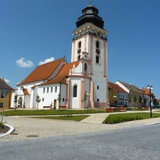
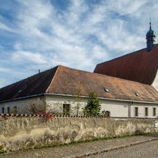
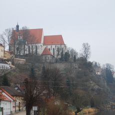
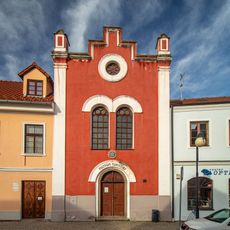
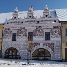
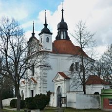
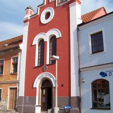
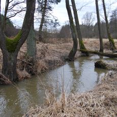
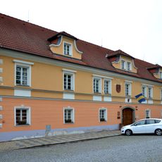
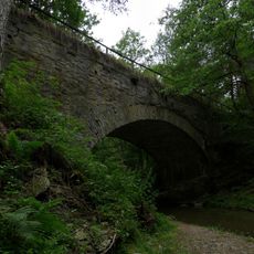
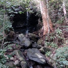
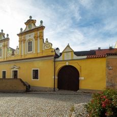
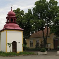
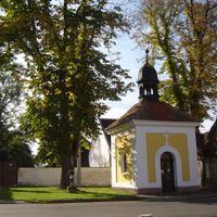
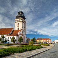
Bechyně is a small town in South Bohemia perched above the Lužnice river and sitting on a rocky outcrop. Its cobblestone streets are lined with old buildings spanning different styles, from Gothic structures with pointed arches to Renaissance and Baroque facades with decorative details.
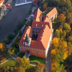
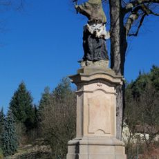
The first written mention of Bechyně dates to around 1120, though archaeological finds suggest older settlement including a Celtic camp and a Slavic fortified settlement by the 9th century. In the 13th century, King Přemysl Otakar II built a castle on the rocky outcrop, and later noble families like the Rosenberks and Šternberks shaped the town's development across the centuries.
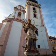
The coat of arms of Bechyně features a five-petaled rose, a symbol deeply connected to South Bohemia and the town's heritage. This emblem links the town to important historical figures like Petr Vok and reflects its long-standing regional roots.
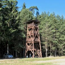
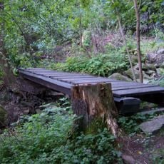
The town is easily reached by bus or train, with the station close by and parking available on the main square for a fee. Walking routes consist of flat town roads and footpaths with about 110 meters of elevation change, making it a gentle walk for most visitors, though some sections are not suitable for strollers or wheelchairs.
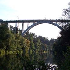
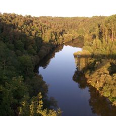
A remarkable feature is the Bechyně rainbow bridge, a reinforced concrete structure completed in 1928 that rises 50 meters (164 feet) over the deep Lužnice valley. This engineering achievement offers visitors an extraordinary vantage point overlooking the river and surrounding landscape.
The community of curious travelers
AroundUs brings together thousands of curated places, local tips, and hidden gems, enriched daily by 60,000 contributors worldwide.