
Bludov, village in Kutná Hora District of Central Bohemian region
Location: Kutná Hora District
Location: správní obvod obce s rozšířenou působností Kutná Hora
Elevation above the sea: 506 m
Website: http://www.obecbludov.cz/
Shares border with: Bohdaneč, Černíny, Červené Janovice, Třebětín
Email: info@obecbludov.cz
Website: http://obecbludov.cz
GPS coordinates: 49.80755,15.25524
Latest update: March 11, 2025 01:45
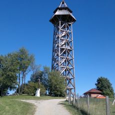
Bohdanka
3.2 km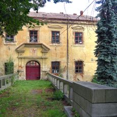
Červené Janovice Castle
3.1 km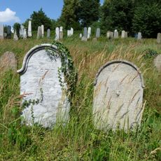
Jewish cemetery in Zbraslavice
5.2 km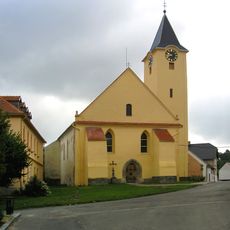
Church of Saint Lawrence (Zbraslavice)
5.2 km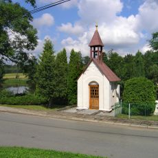
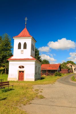
Kaple Navštívení Panny Marie
2.1 km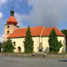
Church of the Annunciation (Bohdaneč)
4 km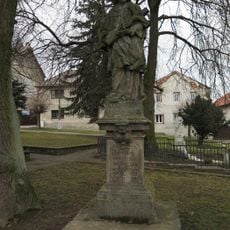
Statue of John of Nepomuk
5.2 km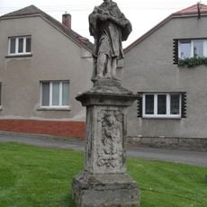
Socha svatého Jana Nepomuckého
3 km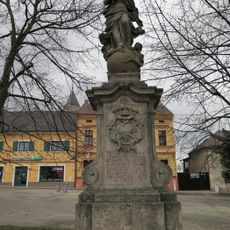
Socha Panny Marie Immaculaty
5.2 km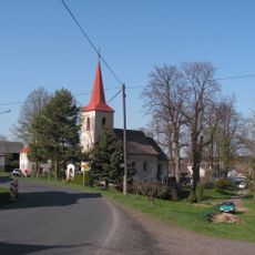
Church of the Visitation of Our Lady
4.3 km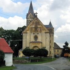
Church of Saint Martin
2.9 km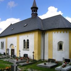
Church of the Nativity of the Virgin Mary
4.4 km
Church of Saint Wenceslaus
3.1 km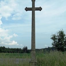
Crucifix in Zdeslavice
2.6 km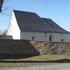
Church of Saint Matthias in Michalovice
3.4 km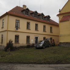
Former School No. 149
5.3 km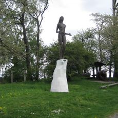
Socha Zvěstování Panny Marie u rozhledny Bohdanka
3.2 km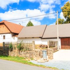
Usedlost čp. 7
4.2 km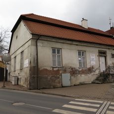
House No. 11
5.2 km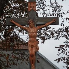
Krucifix
3.1 km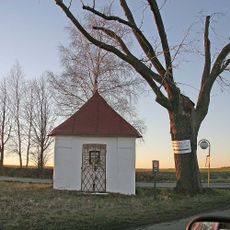
Trojboká výklenková kaplička
3.8 km
Kaple Všech svatých
2.9 km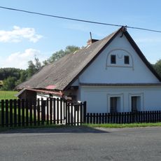
Dům čp. 23
3.4 km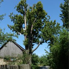
Lípa velkolistá
4.5 km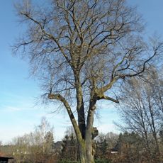
Lípa malolistá
3.3 km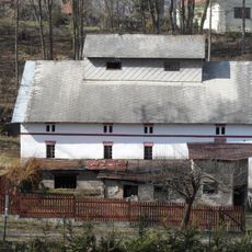
Křepelkův mlýn
2.9 km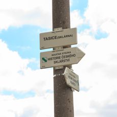
Rozcestník Tasice (sklárna)
5.2 km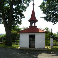
Kaplička a kovový kříž
3 kmReviews
Visited this place? Tap the stars to rate it and share your experience / photos with the community! Try now! You can cancel it anytime.
Discover hidden gems everywhere you go!
From secret cafés to breathtaking viewpoints, skip the crowded tourist spots and find places that match your style. Our app makes it easy with voice search, smart filtering, route optimization, and insider tips from travelers worldwide. Download now for the complete mobile experience.

A unique approach to discovering new places❞
— Le Figaro
All the places worth exploring❞
— France Info
A tailor-made excursion in just a few clicks❞
— 20 Minutes