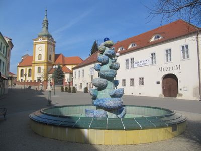
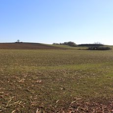
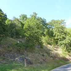
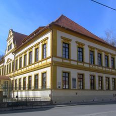
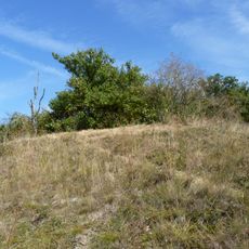
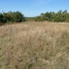
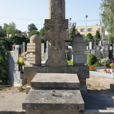
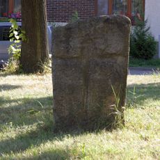
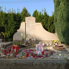
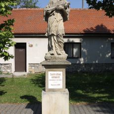
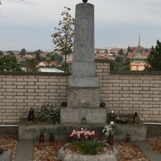
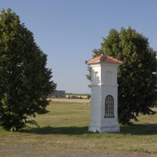
Šlapanice, town in the South Moravian Region of the Czech Republic
Location: Шлапанице
Location: Brno-Country District
Elevation above the sea: 230 m
Shares border with: Ponětovice, Brno, Velatice, Jiříkovice, Podolí, Kobylnice
Email: sekretariat@slapanice.cz
Website: https://slapanice.cz
GPS coordinates: 49.16865,16.72733
Latest update: March 7, 2025 22:11
Žuráň
1.5 km
Red Army memorial in Šlapanice
488 m
Pomník padlým
265 m
Andělka a Čertovka
600 m
Šlapanice Castle
170 m
Church of the Assumption of the Virgin Mary in Šlapanice
118 m
Velký hájek
945 m
Horka
1.4 km
Scholasteria in Šlapanice
74 m
Návrší (natural monument)
1.1 km
Pomník Aloise Kalvody
314 m
Smírčí kámen
490 m
Grave of Libuše Šafránková
360 m
Statue of John of Nepomuk
344 m
Statue of John of Nepomuk in front of the church
96 m
Pomník na hřbitově
275 m
Statue of Saint Jude Thaddeus
23 m
Pomník bitvy u Slavkova
1.5 km
Statue of Saint Florian at the church in Šlapanice
115 m
Column shrine in Šlapanice
2.5 km
Statue of Saint Florian at the scholasteria in Šlapanice
73 m
Žuráň tumulus
1.5 km
Memorial to french surgeon J. D. Larrey and his medics in Šlapanice
128 m
Strom přátelství
2 km
Morový kříž
680 m
Statue of Virgin Mary
75 m
Krucifix u kostela
1.4 km
Hraniční kámen
55 mReviews
Visited this place? Tap the stars to rate it and share your experience / photos with the community! Try now! You can cancel it anytime.
Discover hidden gems everywhere you go!
From secret cafés to breathtaking viewpoints, skip the crowded tourist spots and find places that match your style. Our app makes it easy with voice search, smart filtering, route optimization, and insider tips from travelers worldwide. Download now for the complete mobile experience.
A unique approach to discovering new places❞
— Le Figaro
All the places worth exploring❞
— France Info
A tailor-made excursion in just a few clicks❞
— 20 Minutes