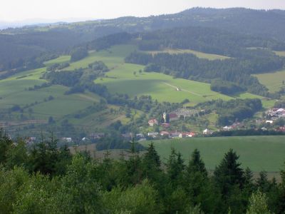
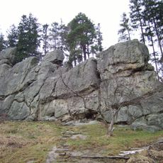
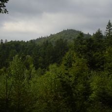
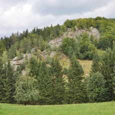
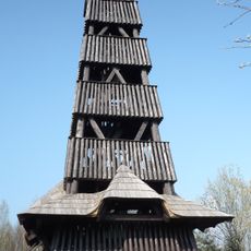
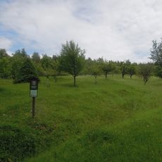
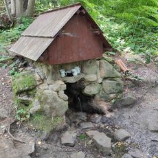
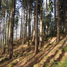
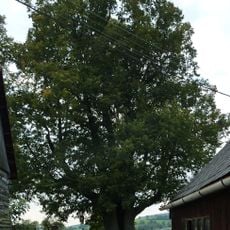
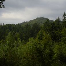
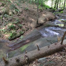
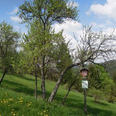
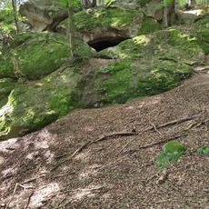
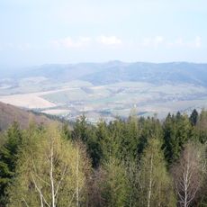
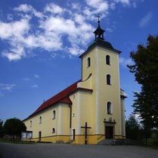
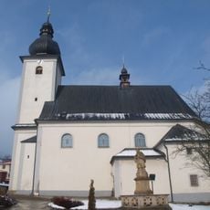
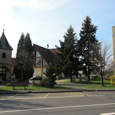
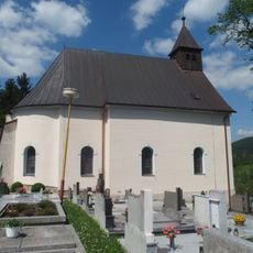
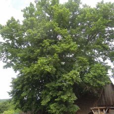
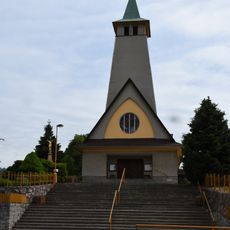
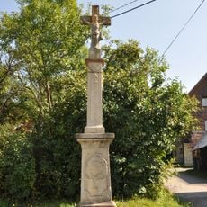
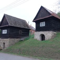
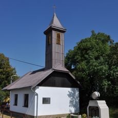
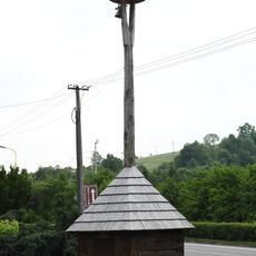
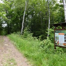
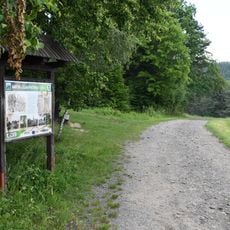
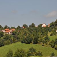
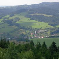
Francova Lhota, village in Vsetín District of Zlín region
Location: Vsetín District
Location: správní obvod obce s rozšířenou působností Vsetín
Elevation above the sea: 490 m
Shares border with: Lužná, Horní Lideč, Valašská Senice, Lidečko, Střelná, Zděchov
Email: obec@francovalhota.cz
Website: http://francovalhota.cz
GPS coordinates: 49.20173,18.11176
Latest update: March 5, 2025 15:01
Čertovy skály (Lidečko)
5 km
Makyta
7.6 km
Pulčín
3.8 km
Čubův kopec observation tower
1.7 km
Hrádek
5.1 km
Dobrodějka
3.6 km
Kopce
5.5 km
Kobza lime tree in Francova Lhota
1.1 km
Makyta (nature reserve)
8 km
Pulčínský vodopád
3.8 km
Uherská
8 km
Zbojnická jeskyně
3.6 km
Lysianska brázda
5.4 km
Church of Saint Stephen of Hungary
574 m
Church of Saint Catherine of Siena
4.4 km
Church of Saint Wenceslaus
4.3 km
Church of the Transfiguration
7.1 km
Ondrova lípa II
5.1 km
Wayside cross near the train station
4.2 km
Church of the Assumption of the Virgin Mary
2.8 km
Krucifix
3.1 km
Tři vinné sklepy
8 km
Študlovská lípa
5.1 km
Chapel of Holy Spirit
3.1 km
Railway bridge over the Lidečko - Pulčín road
5 km
Bell tower in Horní Lideč
4.3 km
Naučná stezka Vráblovy Paseky
7.7 km
Naučná stezka Pulčínská cesta
2.9 kmReviews
Visited this place? Tap the stars to rate it and share your experience / photos with the community! Try now! You can cancel it anytime.
Discover hidden gems everywhere you go!
From secret cafés to breathtaking viewpoints, skip the crowded tourist spots and find places that match your style. Our app makes it easy with voice search, smart filtering, route optimization, and insider tips from travelers worldwide. Download now for the complete mobile experience.
A unique approach to discovering new places❞
— Le Figaro
All the places worth exploring❞
— France Info
A tailor-made excursion in just a few clicks❞
— 20 Minutes