Valašské Meziříčí

Log in to your account

AroundUs is a community-driven map of interesting places, built by curious explorers like you. It grows with every review, story, and photo you share.
Connect to save your favorite spots, contribute locations, and create personalized routes.
Continue with Google
Continue with Apple
Continue with X
Continue with Facebook
Continue with email
By continuing, you accept our Terms and Conditions and our Privacy Policy
Create an account
Add to collection
Map
Suggest a change
Share

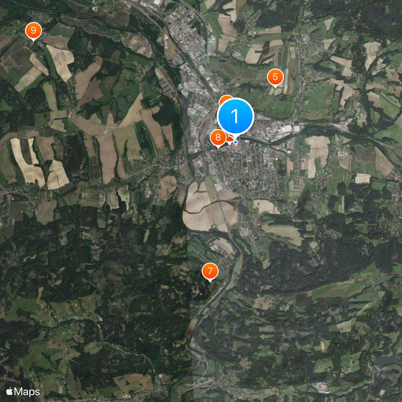
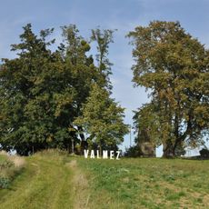
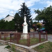
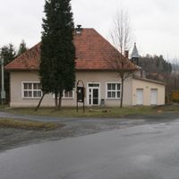
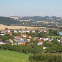
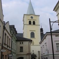
Valašské Meziříčí, Administrative center in Vsetín District, Czech Republic

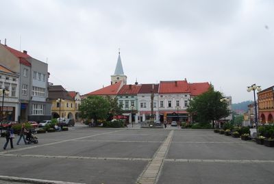
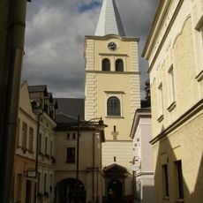
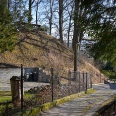
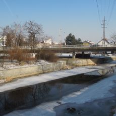
Valašské Meziříčí is a municipality with town privileges in the Vsetín District located where two river valleys converge. It functions as a regional administrative center with residential areas, local businesses, and industrial zones integrated throughout the settled territory.

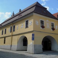
The settlement was first recorded in 1297 as two separate towns on opposite riverbanks, with distinct names and separate development paths. The two communities eventually merged into one municipal entity that continues to this day.

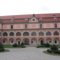
Traditional weaving remains part of local identity, with artisans continuing hand-loom work in the Moravian Tapestry Manufactory where visitors can see cloth being made the old way. This craft heritage shapes how people here connect to their town's past.

The town sits on major rail lines and regional highways, making it accessible by train, bus, or car to nearby communities and larger cities. The layout encourages walking around the central areas, though some neighborhoods spread across different elevation levels.

A major chemical processing facility operates here, handling tar and benzene derivatives at one of Europe's largest scales, shaping employment and industrial character for generations. Few visitors realize this industrial legacy forms the economic backbone of the town.

Location: Vsetín District

Location: správní obvod obce s rozšířenou působností Valašské Meziříčí

Elevation above the sea: 294 m

Reference: CZ0723545058

Shares border with: Velká Lhota, Bystřička, Jarcová, Choryně, Hostašovice, Lešná, Zašová, Krhová, Poličná

Email: posta@muvalmez.cz

Website: http://valasskemezirici.cz

GPS coordinates: 49.47180,17.97115

Latest update: December 20, 2025 13:16

Photos
Reviews

Visited this place? Tap the stars to rate it and share your experience / photos with the community! Try now! You can cancel it anytime.

« Valašské Meziříčí - Administrative center in Vsetín District, Czech Republic » is provided by Around Us (aroundus.com). Images and texts are derived from Wikimedia project under a Creative Commons license. You are allowed to copy, distribute, and modify copies of this page, under the conditions set by the license, as long as this note is clearly visible.

Discover hidden gems everywhere you go!

From secret cafés to breathtaking viewpoints, skip the crowded tourist spots and find places that match your style. Our app makes it easy with voice search, smart filtering, route optimization, and insider tips from travelers worldwide. Download now for the complete mobile experience.

Around Us App Screenshot

A unique approach to discovering new places

Le Figaro

All the places worth exploring

France Info

A tailor-made excursion in just a few clicks

20 Minutes