Enable Location

We need your location to show you interesting places around you

Discover nearby places

Find interesting locations and hidden gems around you

Precise directions

Get accurate directions and distances to places

Your location is never shared with other users. It's only used when you tap the location button.

Blatná

Log in to your account

Start exploring — it's free

Trusted by 62,515 travelers worldwide

Continue with Google
Continue with Apple
or

We will send you a code to connect

By continuing, you accept our Terms and Conditions and our Privacy Policy

Check your inbox

We've sent a pincode in your inbox. Please enter the code below.

Blatná, Municipality in Strakonice District, Czech Republic.

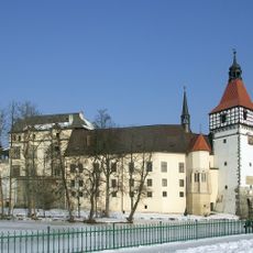
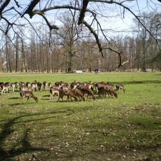
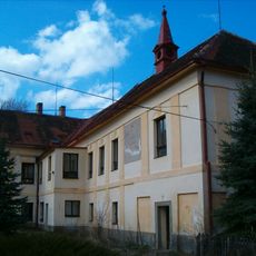
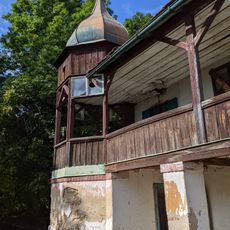
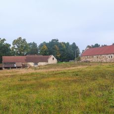
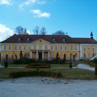
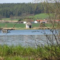
Blatná is a municipality in Strakonice District, located in South Bohemia at 440 meters above sea level. The area is defined by numerous fishponds and the Lomnice River, with a water castle standing in the middle of a pond in the town center.

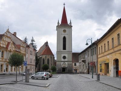
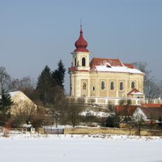
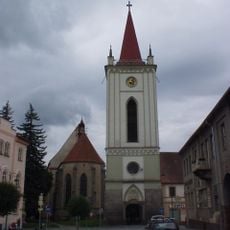
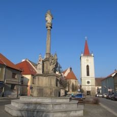
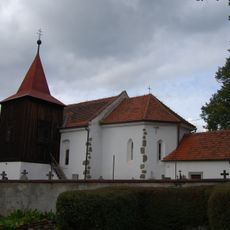
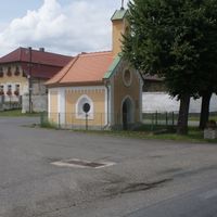
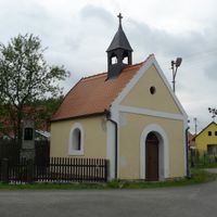
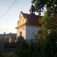
The settlement first appears in written records in 1235, with its name coming from the Old Czech word 'blata' meaning marshland. The church was founded in the 1290s and later rebuilt in 1515, marking the town's long development.

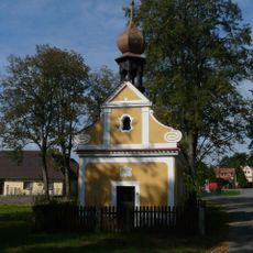
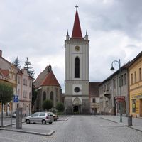
The Church of the Assumption of the Virgin Mary shapes the town center with its medieval form. It shows how religious life has remained important to people here over many centuries.

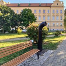
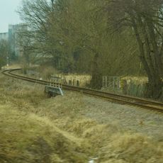
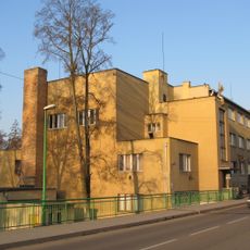
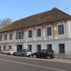
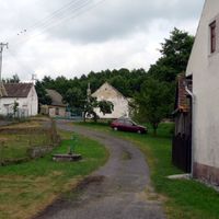
The town connects to larger cities through road networks and railway lines and provides administrative services for surrounding communities. When visiting, you can easily walk between different areas since the layout is fairly compact.

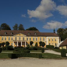
The water castle is surrounded by a fishpond and stands within a protected monument zone. This arrangement makes the location an unusual example of how medieval towns used water as a central design feature.

The community of curious travelers

AroundUs brings together thousands of curated places, local tips, and hidden gems, enriched daily by 60,000 contributors worldwide.

Start exploring
Location
Elevation above the sea
440 m
Shares border with
Sedlice, Záboří, Hajany, Kadov, Myštice, Tchořovice, Buzice, Chlum, Mačkov, Lažany, Bezdědovice, Lažánky, Doubravice, Uzeničky, Bělčice, Chobot, Uzenice, Škvořetice, Bratronice, Radomyšl
GPS coordinates
49.42498,13.88179
Latest update
December 7, 2025 20:25
« Blatná - Municipality in Strakonice District, Czech Republic » is provided by Around Us (aroundus.com). Images and texts are derived from Wikimedia project under a Creative Commons license. You are allowed to copy, distribute, and modify copies of this page, under the conditions set by the license, as long as this note is clearly visible.

Discover hidden gems everywhere you go!

From secret cafés to breathtaking viewpoints, skip the crowded tourist spots and find places that match your style. Our app makes it easy with voice search, smart filtering, route optimization, and insider tips from travelers worldwide. Download now for the complete mobile experience.

Around Us App Screenshot

A unique approach to discovering new places

Le Figaro

All the places worth exploring

France Info

A tailor-made excursion in just a few clicks

20 Minutes

Around Us
Travel Guide & Maps
Download

Send to your phone

QR Code
1

Open the camera app on your mobile.

2

Point at the QR code with your camera. A notification will appear.

3

Tap the notification to open the link.