
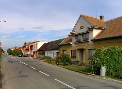
Brumovice, village in Břeclav District of South Moravian region
Location: Хустопече
Location: Břeclav District
Elevation above the sea: 193 m
Shares border with: Krumvíř, Kobylí, Klobouky u Brna, Morkůvky
Email: obec@brumovice.cz
Website: http://brumovice.cz
GPS coordinates: 48.96082,16.89616
Latest update: March 12, 2025 18:52
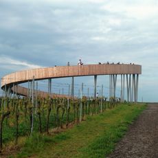
Stezka nad vinohrady
3.8 km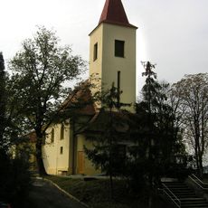
Church of the Sacred Heart of Our Lord
3.6 km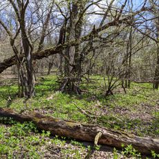
Hrádek
3.4 km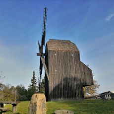
Windmill in Klobouky u Brna
4.4 km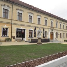
Klobouky u Brna Castle
4.8 km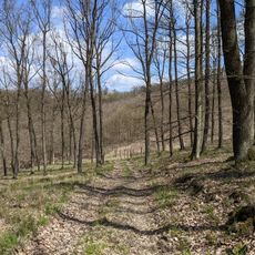
Nosperk
4.1 km
Zázmoníky
4.2 km
Louky pod Kumstátem
4.3 km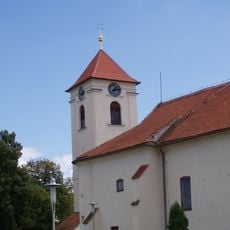
Church of Saint George
3.4 km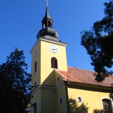
Church of Saint Lawrence (Klobouky u Brna)
4.8 km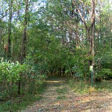
Velký Kutinov
4.7 km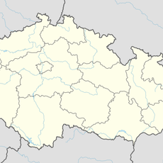
Spálený potok
1.9 km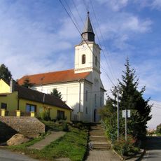
Church of Saint Bartholomew
3.4 km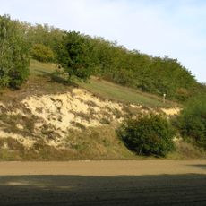
Jesličky
4.6 km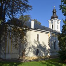
Church of Saint Anthony of Padua in Brumovice
323 m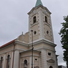
Evangelical church Klobouky u Brna
4.7 km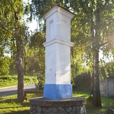
Boží muka
2.7 km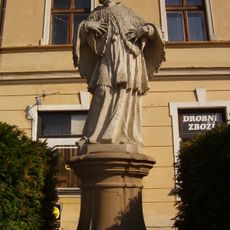
Socha svatého Jana Nepomuckého
4.8 km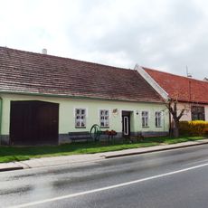
Dům čp. 213
3.3 km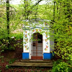
Chapel of Saints Cyril and Methodius
2.9 km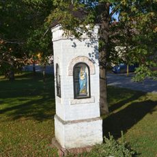
Boží muka
478 m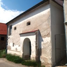
Lisovna
3.2 km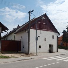
Lisovna
3.5 km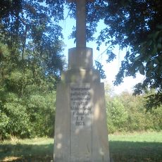
Příhonský kříž jihozápadně od Klobouk u Brna
4.7 km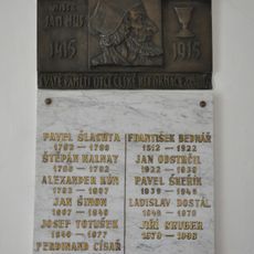
Pamětní deska Jana Husa
4.8 km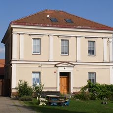
Rectory of Evangelical Church of Czech Brethren in Klobouky u Brna
4.7 km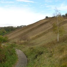
Louky pod Kumstátem
4.2 km
Pamětní deska farářů sboru v Kloboukách u Brna
4.8 kmVisited this place? Tap the stars to rate it and share your experience / photos with the community! Try now! You can cancel it anytime.
Discover hidden gems everywhere you go!
From secret cafés to breathtaking viewpoints, skip the crowded tourist spots and find places that match your style. Our app makes it easy with voice search, smart filtering, route optimization, and insider tips from travelers worldwide. Download now for the complete mobile experience.

A unique approach to discovering new places❞
— Le Figaro
All the places worth exploring❞
— France Info
A tailor-made excursion in just a few clicks❞
— 20 Minutes