Humpolec

Log in to your account

AroundUs is a community-driven map of interesting places, built by curious explorers like you. It grows with every review, story, and photo you share.
Connect to save your favorite spots, contribute locations, and create personalized routes.
Continue with Google
Continue with Apple
Continue with X
Continue with Facebook
Continue with email
By continuing, you accept our Terms and Conditions and our Privacy Policy
Create an account
Add to collection
Map
Suggest a change
Share

Humpolec, Town administrative center in Vysočina Region, Czech Republic

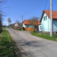
Humpolec is a town with expanded administrative powers in the Vysočina Region, situated at an elevation of 527 meters in the Křemešník Highlands between Prague and Brno. It serves as the administrative center for surrounding communities within the Pelhřimov District.

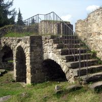
The town was first documented in 1178 as a silver mining settlement during its earliest period. By the 17th century, it had shifted toward becoming a major center for cloth production, which shaped its economy for generations.

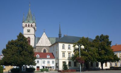
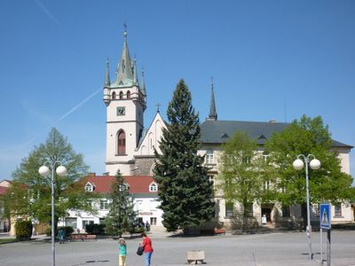
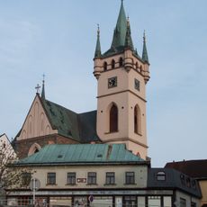
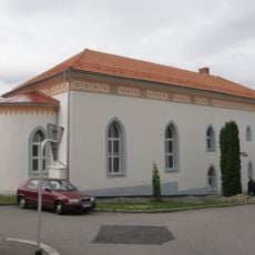
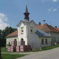
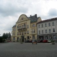
The Church of Saint Nicholas stands at the town center and shows architectural styles that changed over time, from earlier Gothic forms to the Neo-Gothic style seen today. Walking through the main streets, this building remains the most visible landmark that defines the town's character.

The town sits on direct access to the D1 motorway connecting Prague and Brno, making travel to either major city straightforward. Rail service links it to Havlíčkův Brod and the local administrative office serves visitors seeking information about the area.

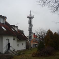
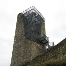
The Family Brewery Bernard, founded in 1597, features an old chimney that was repurposed as an observation tower offering panoramic views across the land. This unexpected use of an industrial structure gives visitors a different perspective on both the brewery and the surrounding landscape.

Location: Pelhřimov District

Location: správní obvod obce s rozšířenou působností Humpolec

Elevation above the sea: 527 m

Shares border with: Velký Rybník, Sedlice, Kalhov, Herálec, Komorovice, Koberovice, Mladé Bříště, Dehtáře, Vystrkov, Bystrá, Staré Bříště, Želiv, Čejov, Budíkov, Horní Rápotice, Jiřice, Ústí

Email: urad@mesto-humpolec.cz

Website: http://mesto-humpolec.cz

GPS coordinates: 49.54158,15.35936

Latest update: December 7, 2025 10:08

Photos
Reviews

Visited this place? Tap the stars to rate it and share your experience / photos with the community! Try now! You can cancel it anytime.

« Humpolec - Town administrative center in Vysočina Region, Czech Republic » is provided by Around Us (aroundus.com). Images and texts are derived from Wikimedia project under a Creative Commons license. You are allowed to copy, distribute, and modify copies of this page, under the conditions set by the license, as long as this note is clearly visible.

Discover hidden gems everywhere you go!

From secret cafés to breathtaking viewpoints, skip the crowded tourist spots and find places that match your style. Our app makes it easy with voice search, smart filtering, route optimization, and insider tips from travelers worldwide. Download now for the complete mobile experience.

Around Us App Screenshot

A unique approach to discovering new places

Le Figaro

All the places worth exploring

France Info

A tailor-made excursion in just a few clicks

20 Minutes