Dobruška

Log in to your account

AroundUs is a community-driven map of interesting places, built by curious explorers like you. It grows with every review, story, and photo you share.
Connect to save your favorite spots, contribute locations, and create personalized routes.
Continue with Google
Continue with Apple
Continue with X
Continue with Facebook
Continue with email
By continuing, you accept our Terms and Conditions and our Privacy Policy
Create an account
Add to collection
Map
Suggest a change
Share

Dobruška, Administrative center in Rychnov nad Kněžnou District, Czech Republic

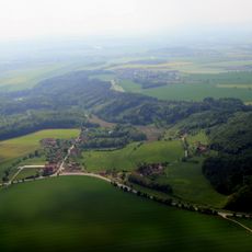
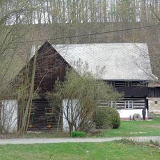
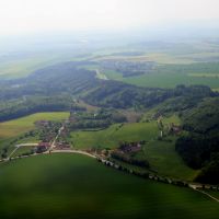
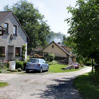
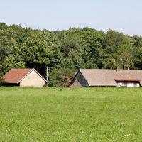
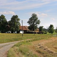
Dobruška is a municipality with town privileges in Rychnov nad Kněžnou District, encompassing seven settlements across its territory. The town sits at roughly 287 meters elevation and brings together the villages of Běstviny, Domašín, Chábory, Křovice, Mělčany, Pulice, and Spáleniště under one administration.

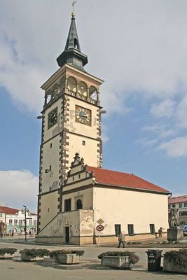
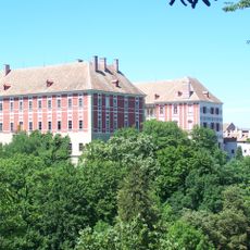
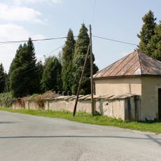
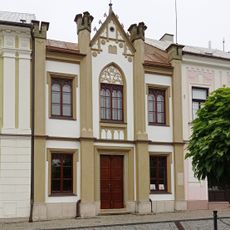
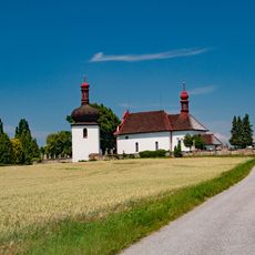
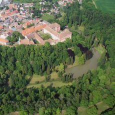
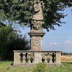
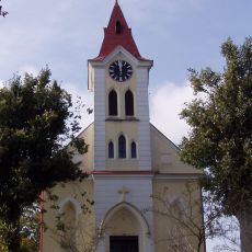
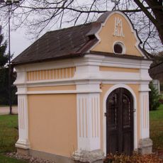
The settlement began around 1320 as Lešno at a crossroads of trade routes in the region. When the Trčka family arrived in 1495, they launched extensive construction that reshaped the center with Renaissance buildings and left a lasting mark on the town's character.

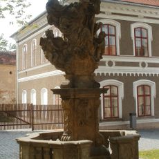
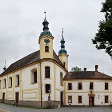
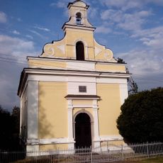
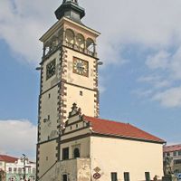
The F. L. Věka Square centers on a Renaissance town hall where early works by painter František Kupka hang alongside regional historical objects. The space reflects how the community has valued both artistic heritage and local memory.

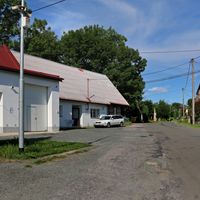
The town serves residents with administrative services, schools, and basic infrastructure for its population of around 6,600 people. Visitors can easily explore the connected settlements since they form a unified administrative area.

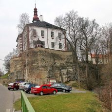
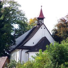
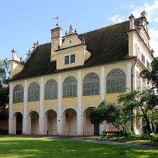
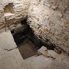
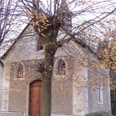
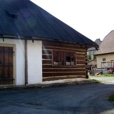
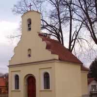
A former synagogue built in the 18th century underwent a neo-Gothic transformation when restored after a fire damaged it. The building stands as evidence of how the town has preserved its architectural diversity through different periods.

Location: Rychnov nad Kněžnou District

Location: Добрушка

Elevation above the sea: 287 m

Shares border with: Val, Pohoří, Opočno, Chlístov, Bačetín, Vršovka, Podbřezí, Semechnice, Dobré, Bohuslavice, Nové Město nad Metují

Email: mu@mestodobruska.cz

Website: http://mestodobruska.cz

GPS coordinates: 50.29205,16.16009

Latest update: December 7, 2025 20:23

Photos
Reviews

Visited this place? Tap the stars to rate it and share your experience / photos with the community! Try now! You can cancel it anytime.

« Dobruška - Administrative center in Rychnov nad Kněžnou District, Czech Republic » is provided by Around Us (aroundus.com). Images and texts are derived from Wikimedia project under a Creative Commons license. You are allowed to copy, distribute, and modify copies of this page, under the conditions set by the license, as long as this note is clearly visible.

Discover hidden gems everywhere you go!

From secret cafés to breathtaking viewpoints, skip the crowded tourist spots and find places that match your style. Our app makes it easy with voice search, smart filtering, route optimization, and insider tips from travelers worldwide. Download now for the complete mobile experience.

Around Us App Screenshot

A unique approach to discovering new places

Le Figaro

All the places worth exploring

France Info

A tailor-made excursion in just a few clicks

20 Minutes