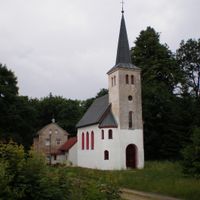
Enable Location

We need your location to show you interesting places around you

Discover nearby places

Find interesting locations and hidden gems around you

Precise directions

Get accurate directions and distances to places

Your location is never shared with other users. It's only used when you tap the location button.

Aš

Log in to your account

Start exploring — it's free

Trusted by 63,069 travelers worldwide

Continue with Google
Continue with Apple
or

We will send you a code to connect

By continuing, you accept our Terms and Conditions and our Privacy Policy

Check your inbox

We've sent a pincode in your inbox. Please enter the code below.

Discussion Reviews 1 Photos
27.2k Popularity

, Border municipality in Cheb District, Czech Republic.

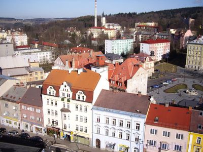
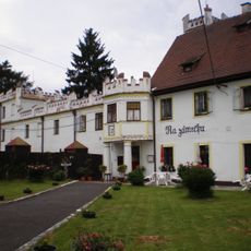
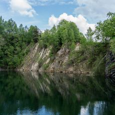
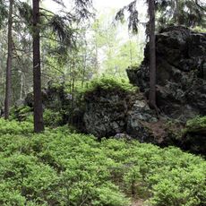
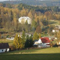
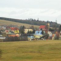
Aš is a town in the far northwest of the Czech Republic, surrounded by Germany on three sides and lying within a land protrusion. The town sits at approximately 666 meters in elevation and connects to neighboring German communities through several road crossings.

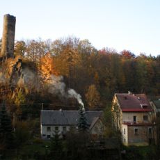
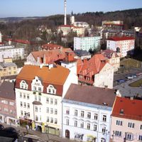
The area was first documented in 1281 and grew through settlements of German colonists during the medieval expansion eastward. By the 19th century it had become a major textile manufacturing center, a role that defined its economy until World War II.

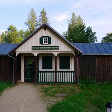
The local museum holds a large collection of gloves and tells the story of textile craftsmanship that shaped this region for generations. You can see how central this work was to the community's identity.

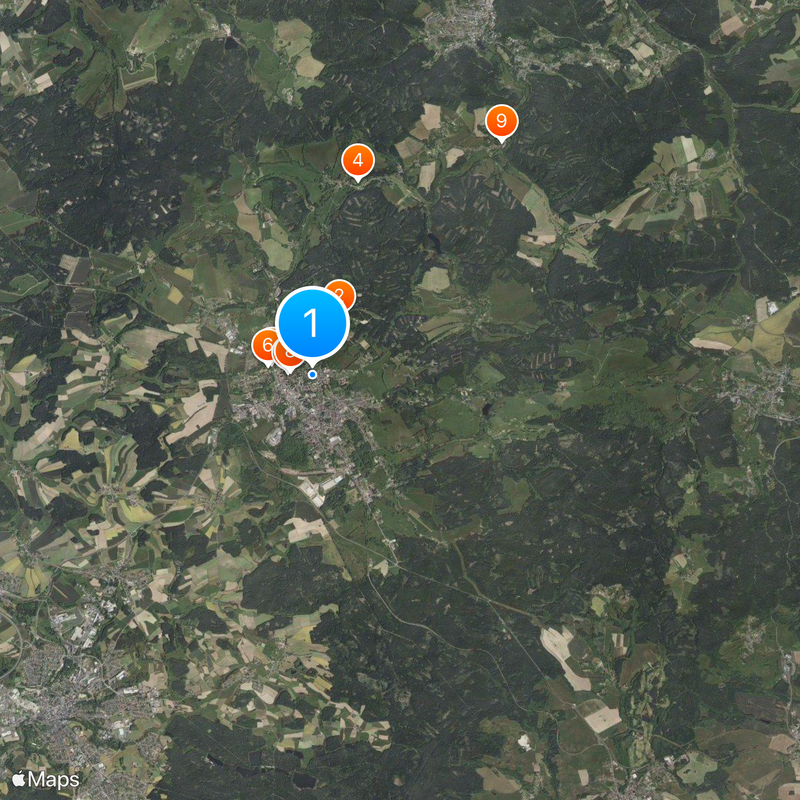
The town has several road crossings to German neighbors and is easily reached by travelers who want to cross between countries. It helps to check the border crossings in advance and familiarize yourself with local connections.

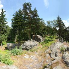
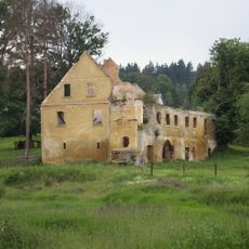
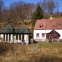
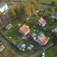
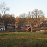
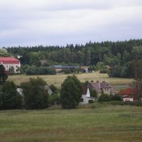
After World War II, the population dropped from about 23,000 to about 10,000 people, leaving many empty buildings throughout the town. This history remains visible in the streets and tells a story of dramatic change.

The community of curious travelers

AroundUs brings together thousands of curated places, local tips, and hidden gems, enriched daily by 60,000 contributors worldwide.

Start exploring
Location
Inception
1281
Elevation above the sea
666 m
Reference
CZ0411554499
Shares border with
Podhradí, Krásná, Hranice, Hazlov, Bad Brambach, Bad Elster, Rehau, Selb
Website
GPS coordinates
50.22400,12.19507
Latest update
December 20, 2025 14:01
Reviews
Share your experience

No review yet

Discussions
Start a discussion...

No discussion yet

« Aš - Border municipality in Cheb District, Czech Republic » is provided by Around Us (aroundus.com). Images and texts are derived from Wikimedia project under a Creative Commons license. You are allowed to copy, distribute, and modify copies of this page, under the conditions set by the license, as long as this note is clearly visible.

Discover hidden gems everywhere you go!

From secret cafés to breathtaking viewpoints, skip the crowded tourist spots and find places that match your style. Our app makes it easy with voice search, smart filtering, route optimization, and insider tips from travelers worldwide. Download now for the complete mobile experience.

Around Us App Screenshot

A unique approach to discovering new places

Le Figaro

All the places worth exploring

France Info

A tailor-made excursion in just a few clicks

20 Minutes

Around Us
Travel Guide & Maps
Download

Send to your phone

QR Code
1

Open the camera app on your mobile.

2

Point at the QR code with your camera. A notification will appear.

3

Tap the notification to open the link.