
Ondratice, village in Prostějov District of Olomouc region
Location: Prostějov District
Location: upravni občinski okoliš z razširjenimi pristojnostmi Prostějov
Elevation above the sea: 271 m
Shares border with: Želeč, Brodek u Prostějova, Truppenübungsplatz Březina, Drysice
Email: ou@ondratice.cz
Website: http://ondratice.cz
GPS coordinates: 49.36297,17.06370
Latest update: March 4, 2025 05:06
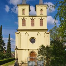
Otaslavice – kostel
2.5 km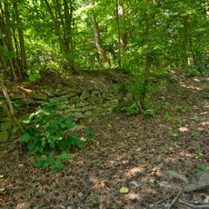
Melice
3.7 km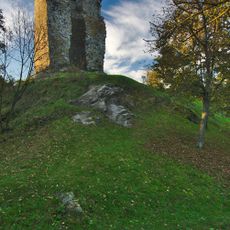
Dolní hrad
2.7 km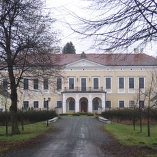
Zámek Brodek u Prostějova
1.5 km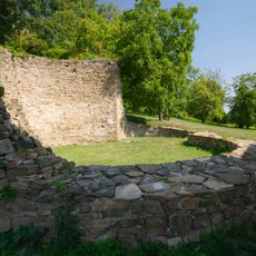
Rotunda of Saint Pantaleon
4.8 km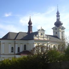
Church of Saint Benedict (Pustiměř)
4.8 km
Pod Obrovou nohou
1.6 km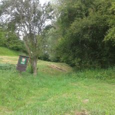
Kopaniny
1.1 km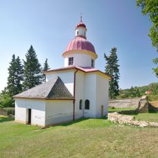
Chapel of Saint Anne
4.8 km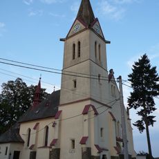
Church of Saints Cyril and Methodius
3.9 km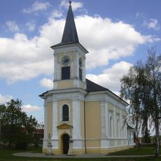
Church of the Nativity of the Virgin Mary
3.2 km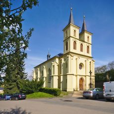
Church of Saint Michael (Otaslavice)
2.5 km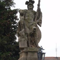
Socha svatého Floriána
3.5 km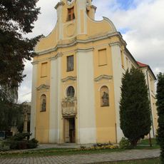
Church of the Exaltation of the Holy Cross
2.1 km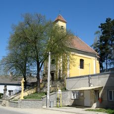
Church of Our Lady of Sorrows
3.7 km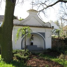
Chapel of Saint John of Nepomuk
3.1 km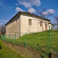
Fara
2.5 km
Krucifix
2.1 km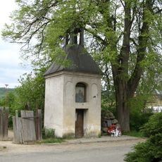
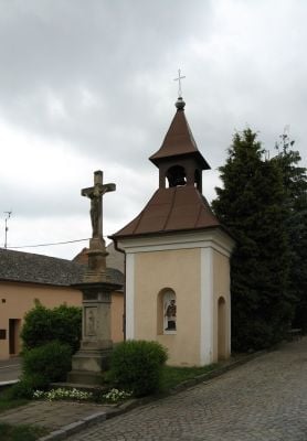
Kaplička se zvonicí
560 m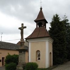
Zvonice
40 m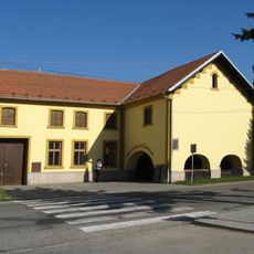
Usedlost čp. 64 se žudrem
2.1 km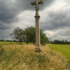
Krucifix
2.8 km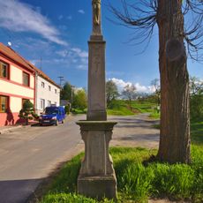
Krucifix
431 m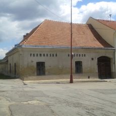
Zájezdní hostinec
3.2 km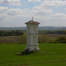
Boží muka
3.8 km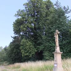
Dobrochovská lípa
3.5 km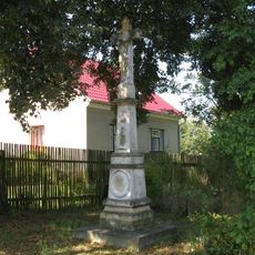
Krucifix
3.8 km
Smírčí kámen
4.8 kmVisited this place? Tap the stars to rate it and share your experience / photos with the community! Try now! You can cancel it anytime.
Discover hidden gems everywhere you go!
From secret cafés to breathtaking viewpoints, skip the crowded tourist spots and find places that match your style. Our app makes it easy with voice search, smart filtering, route optimization, and insider tips from travelers worldwide. Download now for the complete mobile experience.

A unique approach to discovering new places❞
— Le Figaro
All the places worth exploring❞
— France Info
A tailor-made excursion in just a few clicks❞
— 20 Minutes