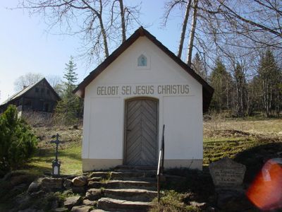
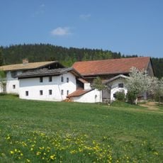
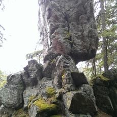
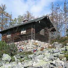
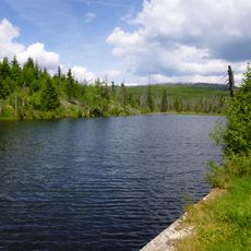
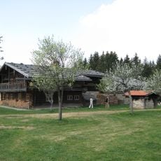
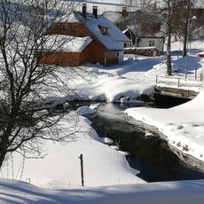
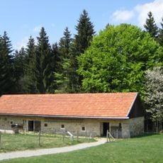
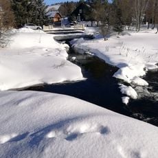
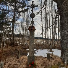
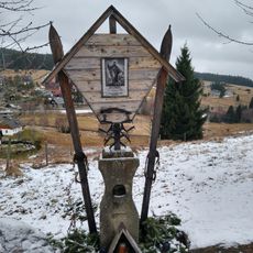
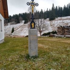
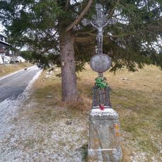
Bučina, neighborhood
Location: Kvilda
Elevation above the sea: 1,162 m
GPS coordinates: 48.96750,13.59472
Latest update: April 1, 2025 18:11
Monument to the Kings of Šumava
4.2 km
Lower Bavarian Open-Air Museums
4.3 km
Beer pot
4.3 km
Steinfleckberg
5.5 km
Tetřeví studánka
3.5 km
Buková slať
3.3 km
Nádrž U Tokaniště
1.6 km
Reschbachklause
2.3 km
Freilichtmuseum Finsterau
4.2 km
Teufelsbachklause
1.2 km
Most přes Teplou Vltavu v Kvildě pod soutokem s Kvildským potokem
5.3 km
Most cesty k pomníku Králům Šumavy přes Teplou Vltavu
4.3 km
Katholische Pfarrkirche Mater Dolorosa
4.4 km
World War I memorial in Knížecí Pláně
2.4 km
Raidl-Haus
4.4 km
Stallgebäude
4.3 km
Boží muka na Kvildě
5.3 km
Chapel of Saint Michael
67 m
Kříž u Lesních chalup
4.6 km
Kinetická socha čápa na Vilémově
5.2 km
Schmiede
4.2 km
Brechhaus
4.3 km
Reschbachtrift, Bestandteil des Wolfsteiner Triftkomplexes
2.3 km
Most silnice II/167 přes Kvildský potok v Kvildě
5.3 km
Kříž u Hraběcí Huti
5 km
Kříž svatého Bernarda
5.2 km
Kříž v Hamerských domcích
5.3 km
Kříž na Vilémově
5.2 kmReviews
Visited this place? Tap the stars to rate it and share your experience / photos with the community! Try now! You can cancel it anytime.
Discover hidden gems everywhere you go!
From secret cafés to breathtaking viewpoints, skip the crowded tourist spots and find places that match your style. Our app makes it easy with voice search, smart filtering, route optimization, and insider tips from travelers worldwide. Download now for the complete mobile experience.
A unique approach to discovering new places❞
— Le Figaro
All the places worth exploring❞
— France Info
A tailor-made excursion in just a few clicks❞
— 20 Minutes