Jemnice, Historic municipality in Třebíč District, Czech Republic.
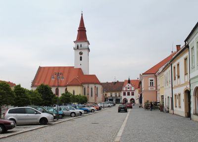
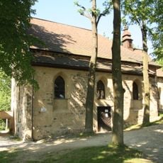
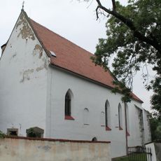
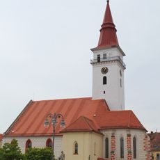
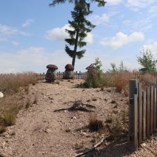
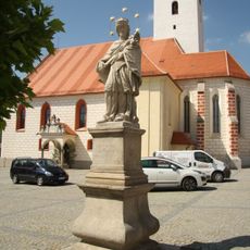
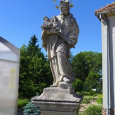
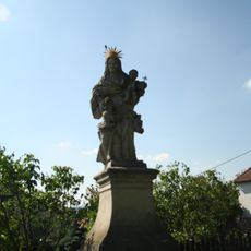
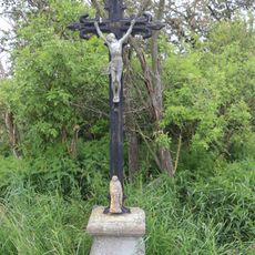
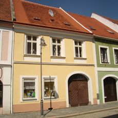
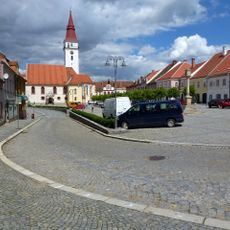
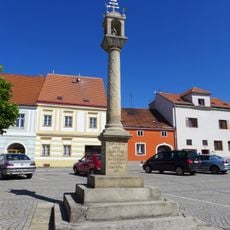
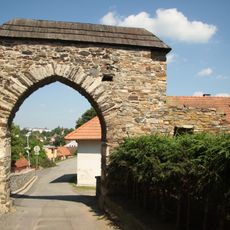
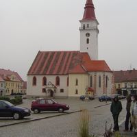
Jemnice sits at 470 meters elevation in the Jevišovice Uplands and is shaped by three major churches and medieval buildings. The municipality displays architectural layers from different periods that give the settlement its character and structure.
The settlement emerged from a mining community called Podolí in the 11th century and received its first written mention in 1227 from King Ottokar I. This early mining origin shaped the area's initial development.
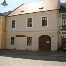
The Jewish Quarter appears today as a cluster of 22 preserved houses near Zámecká Street, where visitors can still trace the spatial layout of former community life. These buildings convey a sense of the Jewish presence that has been part of local life for centuries.
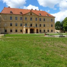
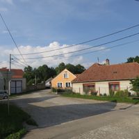
The town functions as an administrative center for the broader region and has the necessary services and facilities for visitors. Its compact layout makes it easy to explore the main points of interest on foot.
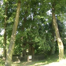
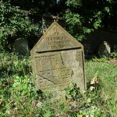
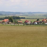
The Jewish cemetery on Údolní Street preserves around 400 visible gravestones, with the oldest readable stone dating from 1676. This burial ground documents nearly 350 years of continuous Jewish burials at the site.
Location: Třebíč District
Location: správní obvod obce s rozšířenou působností Moravské Budějovice
Elevation above the sea: 470 m
Shares border with: Mladoňovice, Lomy, Báňovice, Dešná, Budíškovice, Třebětice, Staré Hobzí, Lhotice, Radotice, Menhartice, Slavíkovice, Kostníky, Jiratice, Pálovice, Chotěbudice, Budkov
Email: info@mesto-jemnice.cz
Website: http://mesto-jemnice.cz
GPS coordinates: 49.01904,15.56995
Latest update: December 10, 2025 15:52
Jemnice Castle
210 m
Pallavicini Vault
2.5 km
Church of Saint Wenceslaus
4.8 km
Church of Saint Vitus
720 m
Church of Saint James the Greater
545 m
Evropské vojenské centrum leteckého maršála a armádního generála Karla Janouška
220 m
Church of Saint Stanislaus
24 m
St. Vitus Linden Tree
747 m
Jewish Cemetery in Jemnice
350 m
Muzeum Jemnice
31 m
Socha Sova
6 km
Sochy Houby
6 km
Socha svatého Jana Nepomuckého
59 m
Chapel of Saint Barbara (Jemnice)
708 m
Socha svatého Jana Nepomuckého
344 m
Socha Vrána
5.9 km
Socha dračice Balvanice
6.5 km
Kříž na západním okraji Lhotic
2.5 km
Sochy divočáka a zajíce
6.4 km
Socha svaté Anny
676 m
Kříž u Panenské
4.7 km
Památník Československa v Ostojkovicích
5.1 km
Památník 50 let školy v Báňovicích
6 km
Kříž u silnice 408 u Slavíkovic
3.1 km
Husova 101
99 m
Náměstí Svobody (Jemnice)
93 m
Boží muka
115 m
City walls of Jemnice
131 mVisited this place? Tap the stars to rate it and share your experience / photos with the community! Try now! You can cancel it anytime.
Discover hidden gems everywhere you go!
From secret cafés to breathtaking viewpoints, skip the crowded tourist spots and find places that match your style. Our app makes it easy with voice search, smart filtering, route optimization, and insider tips from travelers worldwide. Download now for the complete mobile experience.
A unique approach to discovering new places❞
— Le Figaro
All the places worth exploring❞
— France Info
A tailor-made excursion in just a few clicks❞
— 20 Minutes