
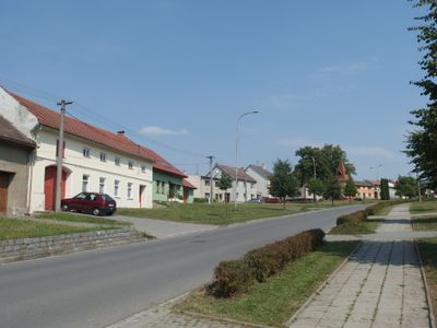
Jarohněvice, village in Kroměříž District of Zlín region
Location: Kroměříž District
Location: Кромержиж
Elevation above the sea: 207 m
Shares border with: Rataje, Šelešovice, Kroměříž
Website: http://jarohnevice.eu
GPS coordinates: 49.26709,17.37758
Latest update: March 2, 2025 20:47
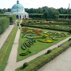
Flower Garden
3.3 km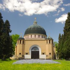
Church of Saints Cyril and Methodius in the Psychiatric Hospital in Kroměříž
3 km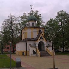
Church of Saints Cyril and Methodius
3 km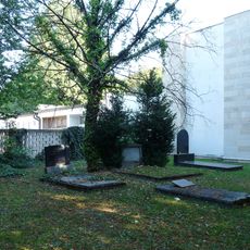
Jewish cemetery in Kroměříž
2.1 km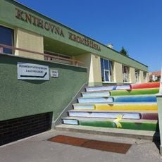
Knihovna Kroměřížska
3.1 km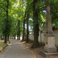
Stations of the Cross in Kroměříž cemetery
2.1 km
Obora
2 km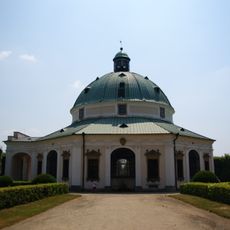
Rotunda in Flower Garden (Kroměříž)
3.4 km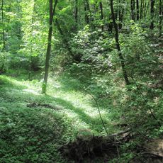
Mohylník
722 m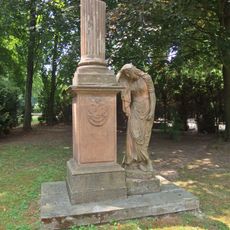
Pomník na památku generála rytíře Václava Jana Frierenbergera
2.4 km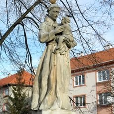
Socha svatého Antonína Paduánského
3 km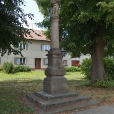
Sloup se sochou Panny Marie s Ježíškem
3 km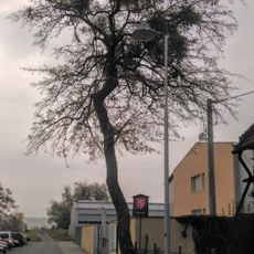
Boháčův hloh
2.6 km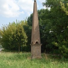
Hraniční kámen - pylon
2.2 km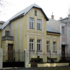
Svatopluka Čecha 41
3.1 km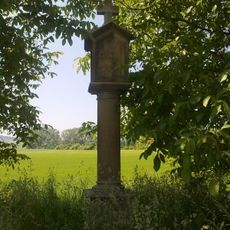
Boží muka
2.8 km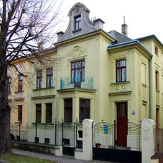
Svatopluka Čecha 39
3.1 km
Krucifix
2 km
Krucifix
2.2 km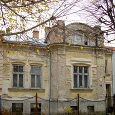
Svatopluka Čecha 651/31
3.2 km
Svatopluka Čecha 43
3.1 km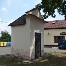
Výklenková kaplička - poklona
1.7 km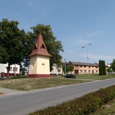
Chapel of Saint Florian
86 m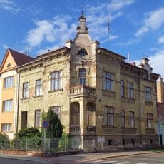
Dům
3.2 km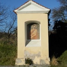
Výklenková kaplička - poklona
3.4 km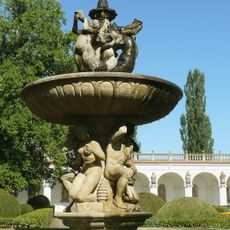
Tritons Fountain in Flower Garden
3.4 km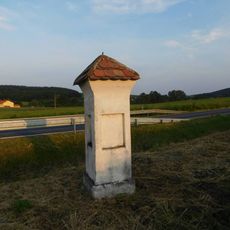
Boží muka v Jarohněvicích
466 m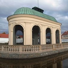
Aviary in Flower Garden (Kroměříž)
3.2 kmVisited this place? Tap the stars to rate it and share your experience / photos with the community! Try now! You can cancel it anytime.
Discover hidden gems everywhere you go!
From secret cafés to breathtaking viewpoints, skip the crowded tourist spots and find places that match your style. Our app makes it easy with voice search, smart filtering, route optimization, and insider tips from travelers worldwide. Download now for the complete mobile experience.

A unique approach to discovering new places❞
— Le Figaro
All the places worth exploring❞
— France Info
A tailor-made excursion in just a few clicks❞
— 20 Minutes