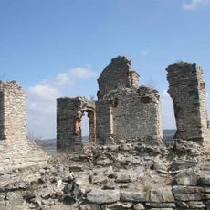
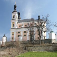
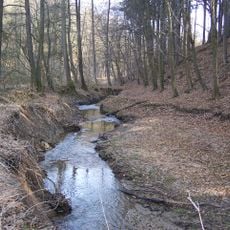
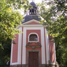
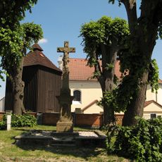
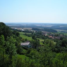
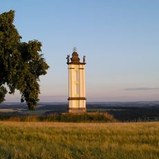
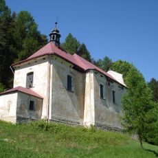
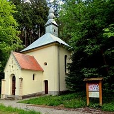
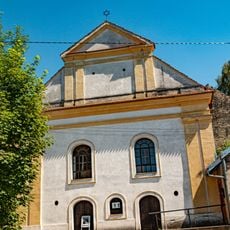
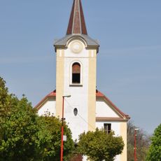
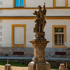
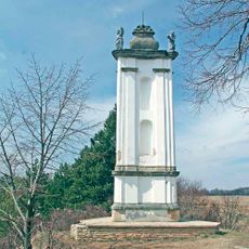
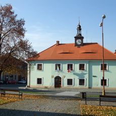
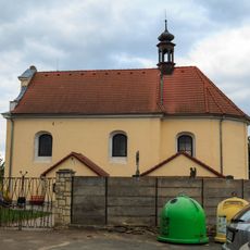
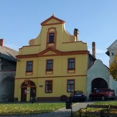
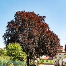
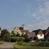
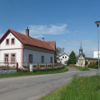
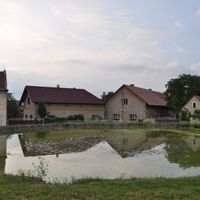
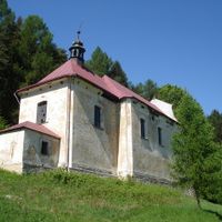
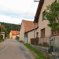
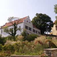
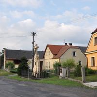
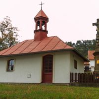
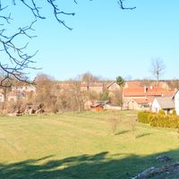
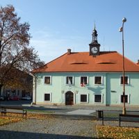
Luže, town in the Czech Republic
Location: Chrudim District
Location: Хрудим
Elevation above the sea: 309 m
Shares border with: Jenišovice, Hluboká, Rosice, Skuteč, Chrast, Hroubovice, Lozice, Střemošice, Leština, Řepníky
Email: mestskyurad@luze.cz
Website: http://luze.cz
GPS coordinates: 49.89345,16.02856
Latest update: March 31, 2025 02:28
Košumberk Castle
1.1 km
Saint Mary Church
337 m
Anenské údolí
3.6 km
Paletínská kaple
1.7 km
Zvonice
3.8 km
Střemošická stráň
4.1 km
Jewish cemetery in Luže
1.4 km
Poklona
3.2 km
Kusá hora
3.6 km
Church of the Annunciation of the Virgin Mary (Doly)
2.1 km
Chapel of Saint Anne
3.6 km
Synagogue in Luže
129 m
Žižkův stůl (tvrz)
2.8 km
Platanová alej v Luži
412 m
Štěpánovská stupňovina
3.3 km
Socha
851 m
Church of Saint Matthew (Štěpánov)
4.2 km
Church of Saint Bartholomew (Luže)
124 m
Church in Lozice
2.8 km
Church of Saint George
1.6 km
Socha svatého Floriána
166 m
Chapel-shrine of the Holy Trinity
3.2 km
Jewish cemetery in Hroubovice
2.8 km
Radnice
24 m
Church of Saint Lawrence (Řepníky)
3.8 km
Venkovská usedlost čp. 16, Lozice
2.7 km
Měšťanský dům
58 m
Buk lesní červenolistý
532 mVisited this place? Tap the stars to rate it and share your experience / photos with the community! Try now! You can cancel it anytime.
Discover hidden gems everywhere you go!
From secret cafés to breathtaking viewpoints, skip the crowded tourist spots and find places that match your style. Our app makes it easy with voice search, smart filtering, route optimization, and insider tips from travelers worldwide. Download now for the complete mobile experience.
A unique approach to discovering new places❞
— Le Figaro
All the places worth exploring❞
— France Info
A tailor-made excursion in just a few clicks❞
— 20 Minutes