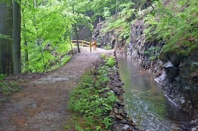
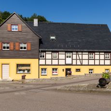
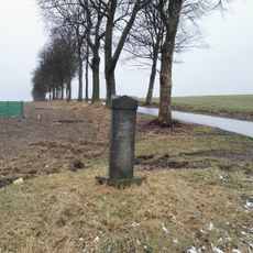
Neugrabenflöße, Log driving canal in Most District, Czech Republic.
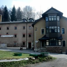
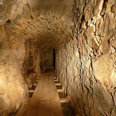
Neugrabenflöße is a water channel system that stretches across the Czech-German border, built specifically to transport timber from forested mountain regions. The canal network includes channels, locks, and water control structures that moved felled logs downstream to processing facilities.
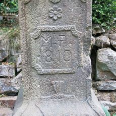
The canal system developed during the peak of regional timber production and served for centuries as the main way to move wood from mountain forests. Operations reached their height in the 1800s before railroads and modern transport gradually replaced this method.
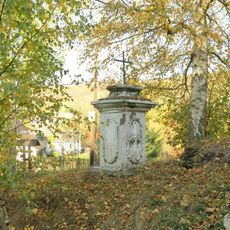
The canal represents centuries of shared forest management between Czech and German communities along this border region. It shows how local people worked together to move timber and manage woodlands as a common resource.
You can enter the canal system at several points along the route and explore different sections on foot. Signs in Czech and German help you find your way, and spring through fall offers the easiest access when paths are dry and well-marked.
The system used a clever arrangement of weirs and water gates to control the flow and guide logs safely downstream without draining the channels dry. This engineering solved the challenge of moving hundreds of tree trunks at once while maintaining water levels.
Location: Most District
Location: Mittelsachsen
Location: Český Jiřetín
GPS coordinates: 50.73630,13.49540
Latest update: December 14, 2025 09:45
Burgruine Rechenberg
4.3 km
Kirche Nassau
4.5 km
Church of Saint John the Baptist
4.8 km
Kirche Clausnitz
800 m
Church Cämmerswalde
3.1 km
Kirche Rechenberg-Bienenmühle
4.2 km
Dorfkirche Dorfchemnitz
5.3 km
Dům če. 124
4.8 km
Sächsisches Brauereimuseum Rechenberg
4.3 km
Kříž u kostela v Českém Jiřetíně
4.8 km
Monument to the fallen in Český Jiřetín
4.8 km
Wohnhaus mit Sonnenuhr und späterem Anbau mit Laden Markt 1
4.3 km
Podstavec kříže v Českém Jiřetíně u cesty k Horní Vsi
5.2 km
Bahnhof Sayda
5.7 km
Station 88 Saidahöhe
5.3 km
Rittergut Dorfchemnitz
5.2 km
Herrenhaus Rechenberg
4.2 km
Schule (heute Wohnhaus) Muldentalstraße 25
4.2 km
Kirche und Kirchhof, Torhaus, Einfriedungsmauer und Denkmal für verstorbene KZ-Häftlinge Geleitstraße -
796 m
Kgl.-sächs. Postmeilenstein Bienenmühle
2.5 km
Brauerei Rechenberg Rechenberg-Bienenmühle
4.3 km
Eisenhammer Dorfchemnitz
5.6 km
Wegestein Nassau (Frauenstein)
4.2 km
Ilyushin Il-14 at Cämmerswalde
3.7 km
Kříž na rozcestí pod kostelem v Českém Jiřetíně
4.7 km
Burgruine An der Schanze -
4.3 km
Wohnstallhaus Alte Straße 77
4.3 km
St.-Michaelis-Stolln Clausnitz
1.6 kmVisited this place? Tap the stars to rate it and share your experience / photos with the community! Try now! You can cancel it anytime.
Discover hidden gems everywhere you go!
From secret cafés to breathtaking viewpoints, skip the crowded tourist spots and find places that match your style. Our app makes it easy with voice search, smart filtering, route optimization, and insider tips from travelers worldwide. Download now for the complete mobile experience.
A unique approach to discovering new places❞
— Le Figaro
All the places worth exploring❞
— France Info
A tailor-made excursion in just a few clicks❞
— 20 Minutes