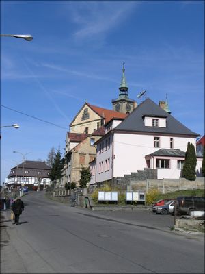
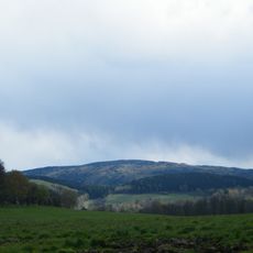
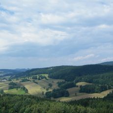
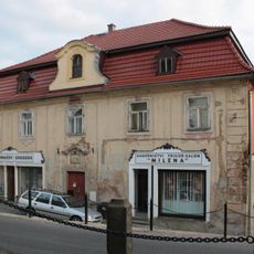
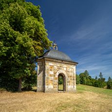
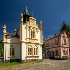
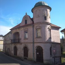
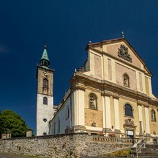
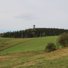
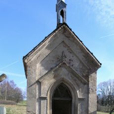
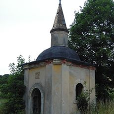
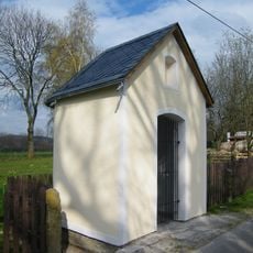
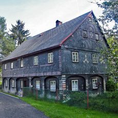
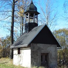
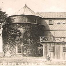
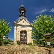
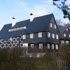
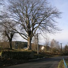
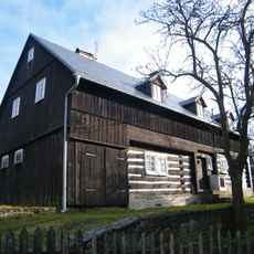
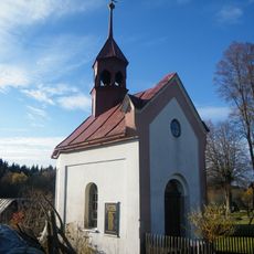
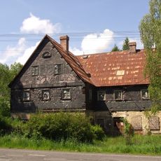
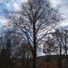
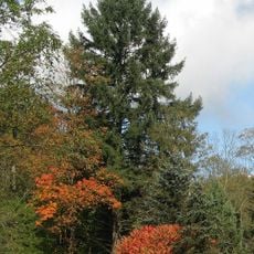
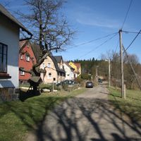
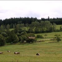
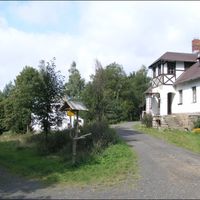
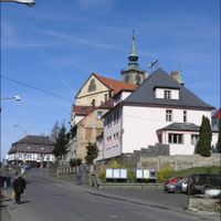
Mikulášovice, town in the Czech Republic
Location: Děčín District
Location: správní obvod obce s rozšířenou působností Rumburk
Elevation above the sea: 414 m
Shares border with: Vilémov, Staré Křečany, Velký Šenov, Sebnitz
Email: info@mikulasovice.cz
Website: http://mikulasovice.cz
GPS coordinates: 50.96515,14.36380
Latest update: March 7, 2025 13:35
Kostel svatého Mikuláše v Mikulášovicích
257 m
Tanzplan
3.1 km
Wachberg
2.6 km
Mikulášovice 2
259 m
Chapel of Holy Trinity
3.3 km
Heilige Hallen
4.1 km
Church of the Ascension
426 m
Observatory in Mikulášovice
245 m
Římskokatolická farnost Mikulášovice
252 m
Weifberg
3.1 km
Bismarckturm Nixdorf
3.1 km
Fürleova kaple
516 m
Wähner's chapel
735 m
Mother of God chapel
2.5 km
Chapel of Our Lady
2.8 km
Mikulášovice 311
214 m
Chapel of Sacred Heart (Salmov)
1.8 km
Mikulášovická vrchovina
3 km
Wolfstein
3.6 km
Windmill in Mikulášovice
1.4 km
Kaple Tří otců
1.5 km
Mikulášovice ev. č. 9
2.3 km
Javor klen v Mikulášovicích
1.1 km
Mikulášovice 449
2.3 km
Chapel of Saint Wenceslaus
2.8 km
Mikulášovice 516
1.4 km
Buk lesní Ignaze Röslera
2.5 km
Wäberova douglaska v Kopci
4.2 kmReviews
Visited this place? Tap the stars to rate it and share your experience / photos with the community! Try now! You can cancel it anytime.
Discover hidden gems everywhere you go!
From secret cafés to breathtaking viewpoints, skip the crowded tourist spots and find places that match your style. Our app makes it easy with voice search, smart filtering, route optimization, and insider tips from travelers worldwide. Download now for the complete mobile experience.
A unique approach to discovering new places❞
— Le Figaro
All the places worth exploring❞
— France Info
A tailor-made excursion in just a few clicks❞
— 20 Minutes