Planá, Mining municipality in Tachov District, Czech Republic.
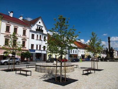
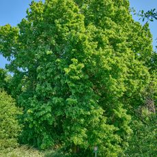
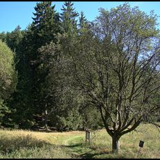
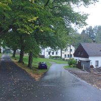
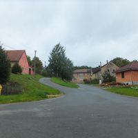
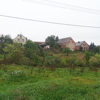
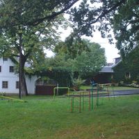
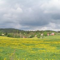
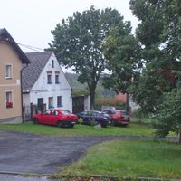
Planá is a mining municipality in Tachov District within the Plzeň Region, situated at an elevation of 506 meters. The area comprises ten districts including Křínov, Otín, and Pavlovice.
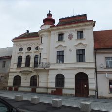
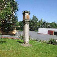
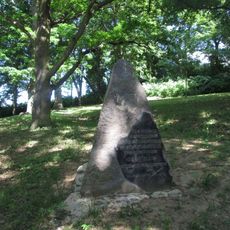
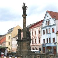
The first written record of Planá dates to 1251, marking the early settlement of the area. By the late 14th century, the settlement grew into an important town along the trade route connecting Nuremberg and Cheb.
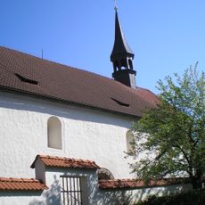
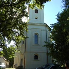
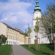
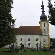
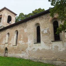
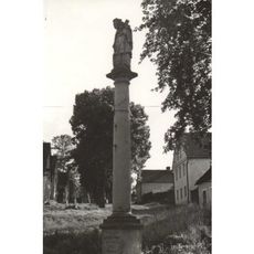
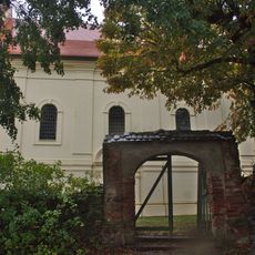
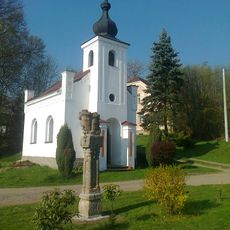
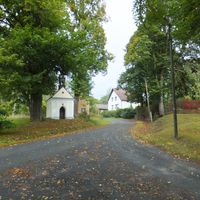
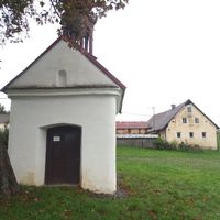
The Church of Saints Peter and Paul, dating from the 13th century, features medieval frescoes and a Romanesque doorway that remain visible to visitors. The building serves as the spiritual heart of the community and shapes how the village looks.
The municipality is accessible via the I/21 road, which connects to the D5 motorway for convenient travel. Regular rail services link the area to neighboring regions and surrounding communities.
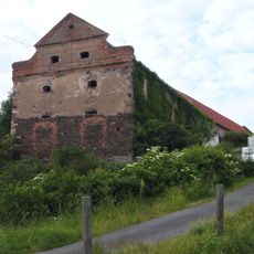
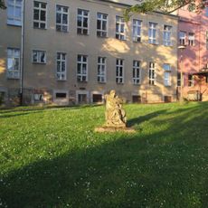
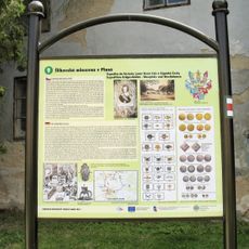
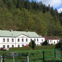
The Mining Museum in Ondřej Schlick adit displays the history of silver ore extraction in the region. The exhibits document evidence of silver coin minting operations that once took place locally, directly tied to the mining activity.
Location: Tachov
Elevation above the sea: 506 m
Shares border with: Chodský Újezd, Chodová Planá, Bor, Černošín, Olbramov, Lestkov, Brod nad Tichou, Kočov
Email: podatelna@muplana.cz
Website: https://plana.cz
GPS coordinates: 49.86827,12.74384
Latest update: December 7, 2025 20:44
Castle in Planá
745 m
Church of Saint James the Greater
3.7 km
Church of Saints Peter and Paul
245 m
Town hall in Planá
252 m
Třebel Castle
8.7 km
Church of Saint Anne (Planá)
2 km
Church of the Assumption (Planá)
456 m
Pavlovická stráň
5.6 km
Old Jewish cemetery in Chodová Planá
3 km
Alej ke Svaté Anně v Plané
1.4 km
New Jewish cemetery in Chodová Planá
2.4 km
Brod nad Tichou
3.7 km
Buk u měšťanského pivovaru v Plané
231 m
Jeřáb muk u Kosího potoka
5.3 km
Týnecká lípa
2.7 km
Holy Name of Mary Church in Otín
3.9 km
Socha svatého Jana Nepomuckého
3.7 km
Socha svatého Jana Nepomuckého
648 m
Zámek Chodová Planá
2.8 km
Church of Saint Wenceslaus
4.3 km
Socha v Plané u nemocnice
326 m
Hotel Černý medvěd
514 m
Bývalý most přes Kosí potok před ústím do Mže
10 km
Socha Medvěda v Plané u ulice Na Příkopech
522 m
Socha svaté Rodiny
7.6 km
Památník v Chodové Plané v areálu pivovaru Chodovar
3 km
Bývalý pivovar a mincovna
540 m
Památník v Plané v parku pod školou II
611 mVisited this place? Tap the stars to rate it and share your experience / photos with the community! Try now! You can cancel it anytime.
Discover hidden gems everywhere you go!
From secret cafés to breathtaking viewpoints, skip the crowded tourist spots and find places that match your style. Our app makes it easy with voice search, smart filtering, route optimization, and insider tips from travelers worldwide. Download now for the complete mobile experience.
A unique approach to discovering new places❞
— Le Figaro
All the places worth exploring❞
— France Info
A tailor-made excursion in just a few clicks❞
— 20 Minutes