Enable Location

We need your location to show you interesting places around you

Discover nearby places

Find interesting locations and hidden gems around you

Precise directions

Get accurate directions and distances to places

Your location is never shared with other users. It's only used when you tap the location button.

Loučná

Log in to your account

Start exploring — it's free

Trusted by 61,908 travelers worldwide

Continue with Google
Continue with Apple
or

We will send you a code to connect

By continuing, you accept our Terms and Conditions and our Privacy Policy

Check your inbox

We've sent a pincode in your inbox. Please enter the code below.

Loučná

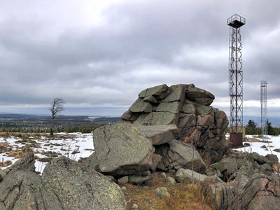
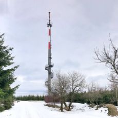
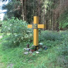
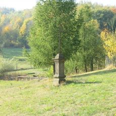
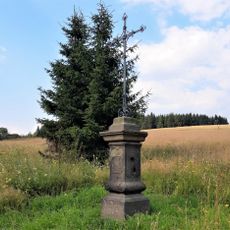
Loučná, Mountain summit in Northern Bohemia, Czech Republic.

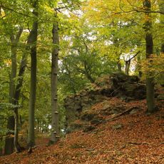
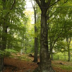
Wieselstein is a mountain summit in Northern Bohemia reaching about 1,315 meters in elevation, with slopes covered by thick vegetation. The area is crossed by numerous marked trails that can be accessed from nearby towns in multiple directions.

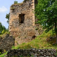
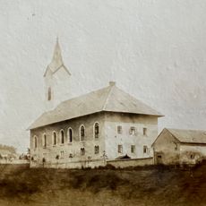
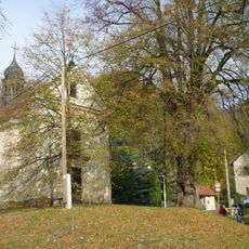
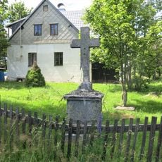
During the 19th century, this summit marked a boundary between different language regions and became known as Wieselstein among German-speaking populations. Its role as a border marker reflected the political and cultural differences of that era.

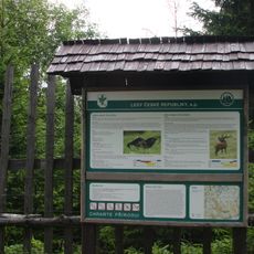
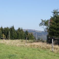
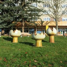
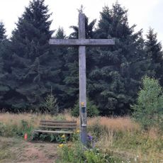
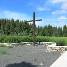
The hiking community has long valued this summit as a gathering place where local outdoor enthusiasts share knowledge about routes and natural features. Today you'll find evidence of this tradition in maintained trails and informal meeting spots where visitors exchange tips about the area.

The hike requires proper equipment and preparation for changing weather conditions common in mountain regions. The marked trails are generally easy to follow, but visitors should watch for uneven terrain and potential slippery areas.

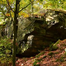
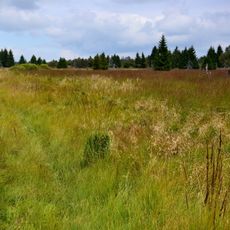
The summit harbors special microclimates that support rare plant species found only in this part of the mountain region. This botanical variety makes the area interesting for nature observers and hikers wanting to explore local flora.

The community of curious travelers

AroundUs brings together thousands of curated places, local tips, and hidden gems, enriched daily by 60,000 contributors worldwide.

Start exploring
GPS coordinates
50.64861,13.61034
Latest update
December 14, 2025 13:04
Around this place
Koldům
Czech Republic

Koldům

4.6 km
Rýzmburk castle (Osek)
Czech Republic

Rýzmburk castle (Osek)

4.2 km
Obora Fláje
Czech Republic

Obora Fláje

1.4 km
Vrása
Czech Republic

Vrása

4 km
Kostel svatého Antonína Paduánského
Czech Republic

Kostel svatého Antonína Paduánského

4.2 km
Vlčí důl
Czech Republic

Vlčí důl

3.8 km
Flájská hornatina
Czech Republic

Flájská hornatina

2 km
Přírodní park Loučenská hornatina
Czech Republic

Přírodní park Loučenská hornatina

887 m
Rozhledna na Vlčí hoře
Czech Republic

Rozhledna na Vlčí hoře

2.2 km
Chapel
Czech Republic

Chapel

4.4 km
Church of the Sacred Heart
Czech Republic

Church of the Sacred Heart

2.8 km
Sousoší dětí u sanatoria v Okružní ul. v Meziboří
Czech Republic

Sousoší dětí u sanatoria v Okružní ul. v Meziboří

3.2 km
Socha svatého Jana Nepomuckého u Flájské vodní nádrže
Czech Republic

Socha svatého Jana Nepomuckého u Flájské vodní nádrže

3.7 km
Pomník-kříž památce obyvatel zaniklé vsi Fláje
Czech Republic

Pomník-kříž památce obyvatel zaniklé vsi Fláje

4 km
Socha Budovatelé stavby mládeže u Citadely v Litvínově
Czech Republic

Socha Budovatelé stavby mládeže u Citadely v Litvínově

4.6 km
Socha Tančící dvojice v Parku přátelství v Meziboří
Czech Republic

Socha Tančící dvojice v Parku přátelství v Meziboří

3.3 km
Socha před školou v Meziboří
Czech Republic

Socha před školou v Meziboří

3 km
Keramická plastika Tři květy na náměstí 8.května v Meziboří
Czech Republic

Keramická plastika Tři květy na náměstí 8.května v Meziboří

3.2 km
Buk ve Vlčím Dole
Czech Republic

Buk ve Vlčím Dole

4 km
Lípa srdčitá (Tilia cordata)
Czech Republic

Lípa srdčitá (Tilia cordata)

4.4 km
Pomník padlým v Šumné
Czech Republic

Pomník padlým v Šumné

4.6 km
Kříž na soukromé louce v osadě Horní Ves
Czech Republic

Kříž na soukromé louce v osadě Horní Ves

4.7 km
Kříž u domu 29 v Klínech
Czech Republic

Kříž u domu 29 v Klínech

4.3 km
Kříž v ruinách zaniklé vsi Fláje
Czech Republic

Kříž v ruinách zaniklé vsi Fláje

3.9 km
Kříž u cesty z Dlouhé Louky na Vlčí horu
Czech Republic

Kříž u cesty z Dlouhé Louky na Vlčí horu

2.5 km
Kříž u silnice z Dlouhé Louky na Moldavu
Czech Republic

Kříž u silnice z Dlouhé Louky na Moldavu

4.6 km
Kříž v základech zaniklého kostela ve Flájích
Czech Republic

Kříž v základech zaniklého kostela ve Flájích

3.8 km
Dům Kultury  Meziboří
Czech Republic

Dům Kultury Meziboří

3 km
Show the full map
« Loučná - Mountain summit in Northern Bohemia, Czech Republic » is provided by Around Us (aroundus.com). Images and texts are derived from Wikimedia project under a Creative Commons license. You are allowed to copy, distribute, and modify copies of this page, under the conditions set by the license, as long as this note is clearly visible.

Discover hidden gems everywhere you go!

From secret cafés to breathtaking viewpoints, skip the crowded tourist spots and find places that match your style. Our app makes it easy with voice search, smart filtering, route optimization, and insider tips from travelers worldwide. Download now for the complete mobile experience.

Around Us App Screenshot

A unique approach to discovering new places

Le Figaro

All the places worth exploring

France Info

A tailor-made excursion in just a few clicks

20 Minutes

Around Us
Travel Guide & Maps
Download

Send to your phone

QR Code
1

Open the camera app on your mobile.

2

Point at the QR code with your camera. A notification will appear.

3

Tap the notification to open the link.