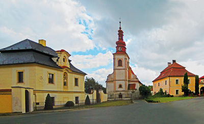
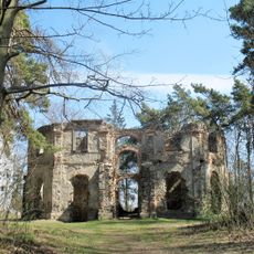
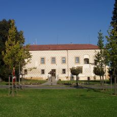
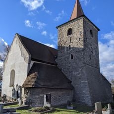
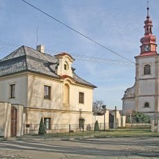
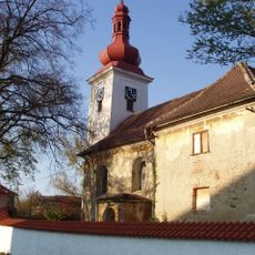
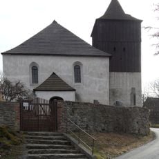
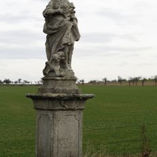
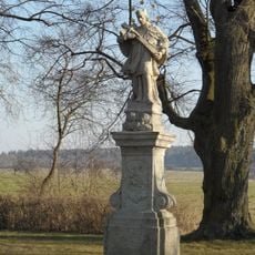
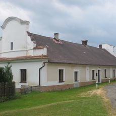
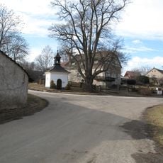
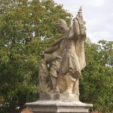
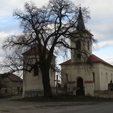
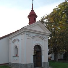
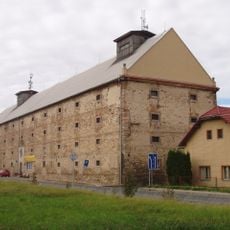
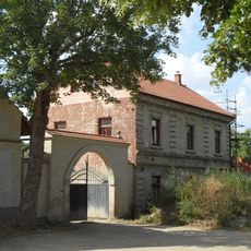
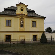
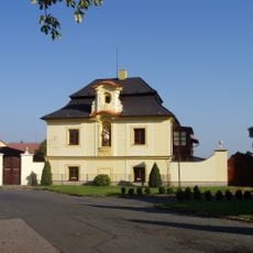
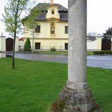
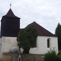
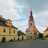
Suchdol, municipality in the Central Bohemian Region of the Czech Republic
Location: Kutná Hora District
Location: správní obvod obce s rozšířenou působností Kutná Hora
Elevation above the sea: 367 m
Shares border with: Rašovice, Bečváry, Ratboř, Červené Pečky, Kořenice, Miskovice, Onomyšl, Vidice
Email: ou@obecsuchdol.cz
Website: http://obecsuchdol.cz
GPS coordinates: 49.95253,15.16657
Latest update: April 3, 2025 20:50
Luftschloss Belveder with the Chapel of St. John the Baptist
1.9 km
Suchdol
72 m
Church of the Visitation of Our Lady
1.4 km
Church of Saint Margaret in Suchdol
109 m
Church of Saint Bartholomew in Solopysky (Suchdol)
3.4 km
Kostel svatého Václava
2 km
Bořetice
2.4 km
Socha svaté Markéty
1.1 km
Statue of John of Nepomuk in Červený Hrádek
5 km
Former Inn in Mezholezy
2.5 km
Chapel of Saint John of Nepomuk
1.6 km
Socha svatého Floriána
1.9 km
Church of Saint Nicolas
4 km
Kaple svaté Ludmily
3 km
Dobřeňská lípa
1.7 km
Granary
485 m
Former Jesuit Homestead in Mezholezy
2.7 km
Usedlost čp. 2
110 m
Lípa na Zadním Hrádku
5.8 km
Lípa u Chotouchova
2.6 km
Lípa malolistá
1.6 km
Lípa malolistá
3.5 km
Lípa malolistá
4 km
Fara
3.4 km
Fara
113 m
Buk u kaple sv. Jana Křtitele
1.9 km
Pranýř ve středu obce Suchdol
79 m
Kaple svatého Jana Křtitele ve Vysoké
1.9 kmReviews
Visited this place? Tap the stars to rate it and share your experience / photos with the community! Try now! You can cancel it anytime.
Discover hidden gems everywhere you go!
From secret cafés to breathtaking viewpoints, skip the crowded tourist spots and find places that match your style. Our app makes it easy with voice search, smart filtering, route optimization, and insider tips from travelers worldwide. Download now for the complete mobile experience.
A unique approach to discovering new places❞
— Le Figaro
All the places worth exploring❞
— France Info
A tailor-made excursion in just a few clicks❞
— 20 Minutes