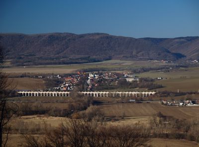
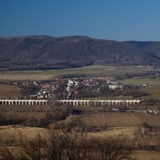
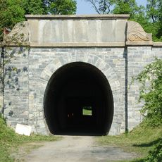
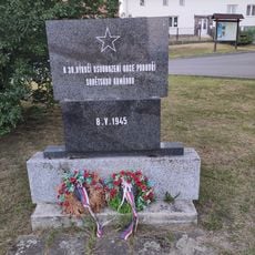
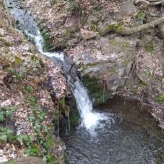
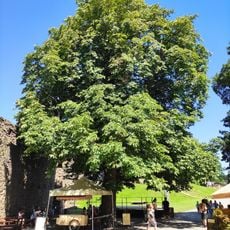
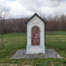
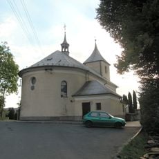
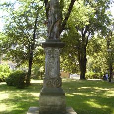
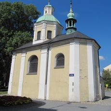
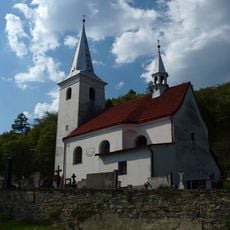
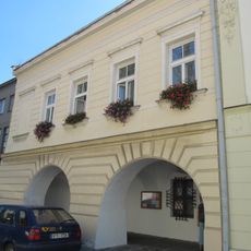
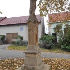
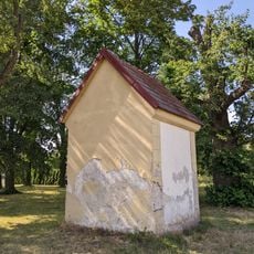
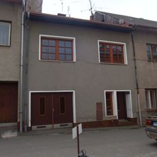
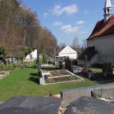
Jezernice, village in Přerov District of Olomouc region
Location: Přerov District
Location: Lipník nad Bečvou (klein district)
Elevation above the sea: 259 m
Shares border with: Týn nad Bečvou, Milenov, Lipník nad Bečvou, Hranice
Email: podatelna@jezernice.cz
Website: http://jezernice.cz
GPS coordinates: 49.54778,17.62493
Latest update: March 5, 2025 05:47
Helfštýn
3.3 km
Drahotuš Gord
2.8 km
Jezernice Viaduct
1.3 km
Good Shepherd
2.2 km
Slavíčský tunel
2.1 km
Památník k 30. výročí osvobození obce Podhoří sovětskou armádou
2.4 km
Žabnický vodopád
3.4 km
Jírovec na Helfštýně
3.4 km
Škrabalka
3.4 km
Chapel of Saint Hubertus
781 m
Church of the Assumption of the Virgin Mary
3.6 km
Studánka Pod hřištěm
2.8 km
Socha svatého Šebestiána
3.4 km
Chapel of Saint Joseph
3.4 km
Church of Saint Gall
2.5 km
Dům čp. 602
3.5 km
Vila Františka Wawerky
3.1 km
Pošta
3.4 km
Pamětní deska Bedřicha Smetany na rodinném domě
3.4 km
Škola
3.4 km
Church of Saint Charles Borromeo
2.5 km
Statue of Virgin Mary with child in Podhoří
2.4 km
Kaple Nanebevzetí Panny Marie
2.8 km
Dům čp. 608
3.5 km
Cemetery in Podhoří
2.5 km
Kovové plastiky u příkopu před jádrem hradu Helfštýn
3.3 km
Kovová plastika Prométheovi před hradem Helfštýn
3.4 km
Stone Cross in Podhoří
2.1 kmReviews
Visited this place? Tap the stars to rate it and share your experience / photos with the community! Try now! You can cancel it anytime.
Discover hidden gems everywhere you go!
From secret cafés to breathtaking viewpoints, skip the crowded tourist spots and find places that match your style. Our app makes it easy with voice search, smart filtering, route optimization, and insider tips from travelers worldwide. Download now for the complete mobile experience.
A unique approach to discovering new places❞
— Le Figaro
All the places worth exploring❞
— France Info
A tailor-made excursion in just a few clicks❞
— 20 Minutes